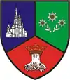
Șoarș
Șoarș (German: Scharosch bei Fogarasch; Transylvanian Saxon dialect: Schursch; Hungarian: Sáros) is a commune in Brașov County, Transylvania, Romania. It is composed of five villages: Bărcuț, Felmer, Rodbav, Seliștat, and Șoarș. Each village has a fortified church.
| In Romanian | In German | In Hungarian |
|---|---|---|
| Bărcuț | Bekokten | Báránykút |
| Felmer | Felmern | Felmér |
| Rodbav | Rohrbach | Nádpatak |
| Seliștat | Seligstadt | Boldogváros |
| Șoarș | Scharosch bei Fogarasch | Sáros |
Șoarș | |
|---|---|
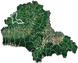 Location in Brașov County | |
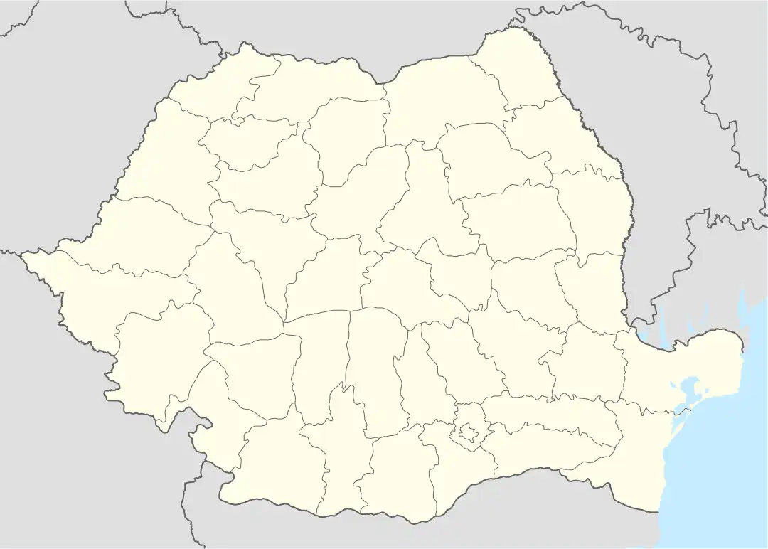 Șoarș Location in Romania | |
| Coordinates: 45°56′N 24°55′E | |
| Country | Romania |
| County | Brașov |
| Subdivisions | Bărcuț, Felmer, Rodbav, Seliștat, Șoarș |
| Government | |
| • Mayor (2020–2024) | Dănuț Ioan Timiș[1] (PNL) |
| Area | 166.90 km2 (64.44 sq mi) |
| Elevation | 489 m (1,604 ft) |
| Population (2011-10-31)[2] | 1,755 |
| • Density | 11/km2 (27/sq mi) |
| Time zone | EET/EEST (UTC+2/+3) |
| Postal code | 507215 |
| Area code | (+40) 02 68 |
| Vehicle reg. | BV |
| Website | www |
Geography
The commune lies within the southern reaches of the Transylvanian Plateau. The river Hârtibaciu flows through the village of Bărcuț; its left tributary, Valea Morii, flows through the village of Seliștat.
Șoarș is located in the northwestern part of the county, 14 km (8.7 mi) north of Făgăraș, on the border with Sibiu County. The county seat, Brașov, is some 80 km (50 mi) to the southeast.
History
In October 1916, Șoarș was the site of the Battle of Báránykút, where a German offensive was successfully repulsed by the Romanian Second Army during the Battle of Transylvania in World War I.
Economy
The Rodbav gas field is situated on the territory of the commune. It was discovered in 1935 and began production in 1938.
Natives
- Ion Mușlea (1899–1966), folklorist.
References
- "Results of the 2020 local elections". Central Electoral Bureau. Retrieved 9 June 2021.
- "Populaţia stabilă pe judeţe, municipii, oraşe şi localităti componenete la RPL_2011" (XLS). National Institute of Statistics.
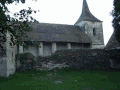 Fortified church of Felmer
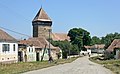 Fortified church of Bărcuț
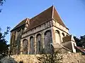 Fortified church of Seliștat