Senapati, Manipur
Senapati (Meitei pronunciation:/se.na.pə.ti/[lower-alpha 1][1]) is the district headquarters of Senapati district in the state of Manipur in India.
Senapati | |
|---|---|
Village | |
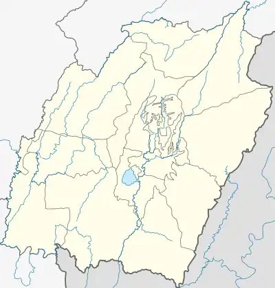 Senapati Location in Manipur, India  Senapati Senapati (India) | |
| Coordinates: 25.2727°N 94.0265°E | |
| Country | |
| State | Manipur |
| District | Senapati |
| Area | |
| • Total | 3,271 km2 (1,263 sq mi) |
| Elevation | 1,500 m (4,900 ft) |
| Population (2001) | |
| • Total | 283,621 |
| • Density | 87/km2 (230/sq mi) |
| Language(s) | |
| • Official | Meitei (officially called Manipuri)[lower-alpha 1][1] |
| • Regional | Mao |
| Time zone | UTC+5:30 (IST) |
| PIN | 795106 |
| Telephone code | 3871 |
| Vehicle registration | MN |
| Literacy | 59.8% |
Notes
- Meitei language (officially known as Manipuri language) is the official language of Manipur. Other regional languages of different places in Manipur may either be predominantly spoken or not in their respective places but "Meitei" is always officially used.
References
- "Report of the Commissioner for linguistic minorities: 47th report (July 2008 to June 2010)" (PDF). Commissioner for Linguistic Minorities, Ministry of Minority Affairs, Government of India. p. 78. Archived from the original (PDF) on 13 May 2012. Retrieved 16 February 2012.
This article is issued from Wikipedia. The text is licensed under Creative Commons - Attribution - Sharealike. Additional terms may apply for the media files.