Sentinel Peak (British Columbia)
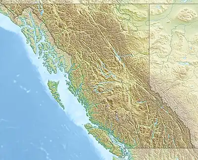
Sentinel Peak, is a 2,513-metre (8,245 ft) isolated, prominent limestone peak, west of the Continental Divide in British Columbia, Canada. It is highest summit in Misinchinka Ranges, a subdivision range of the Hart Ranges within the Northern Rocky Mountains.
| Sentinel Peak | |
|---|---|
 Sentinel Peak  Sentinel Peak | |
| Highest point | |
| Elevation | 2,513 m (8,245 ft)[1][2][3] |
| Prominence | 1,452 m (4,764 ft)[2][3] |
| Parent peak | Limestone Peak (2661 m)[2] |
| Isolation | 76.5 km (47.5 mi)[3] |
| Listing | |
| Coordinates | 54°54′29″N 121°57′40″W[4] |
| Geography | |
| Country | Canada |
| Province | British Columbia |
| District | Cariboo Land District |
| Parent range | Misinchinka Ranges |
| Topo map | NTS 93I13 Sentinel Peak[4] |
It is located approximately 120 km (75 mi) northeast of Prince George, BC.
Nearby
- Mount Ovington (2,949 m (9,675 ft))
- Mount Crysdale (2,429 m (7,969 ft))
- Limestone Peak (2,661 m (8,730 ft))
- Mount Barton (2,390 m (7,840 ft))
References
- "Topographic map of Sentinel Peak". opentopomap.org. Retrieved 2022-09-19.
- "Sentinel Peak". Bivouac.com. Retrieved 2022-09-19.
- "Sentinel Peak". Peakbagger.com. Retrieved 2022-09-19.
- "Sentinel Peak". Geographical Names Data Base. Natural Resources Canada. Retrieved 2022-09-19.
This article is issued from Wikipedia. The text is licensed under Creative Commons - Attribution - Sharealike. Additional terms may apply for the media files.