Slack (river)
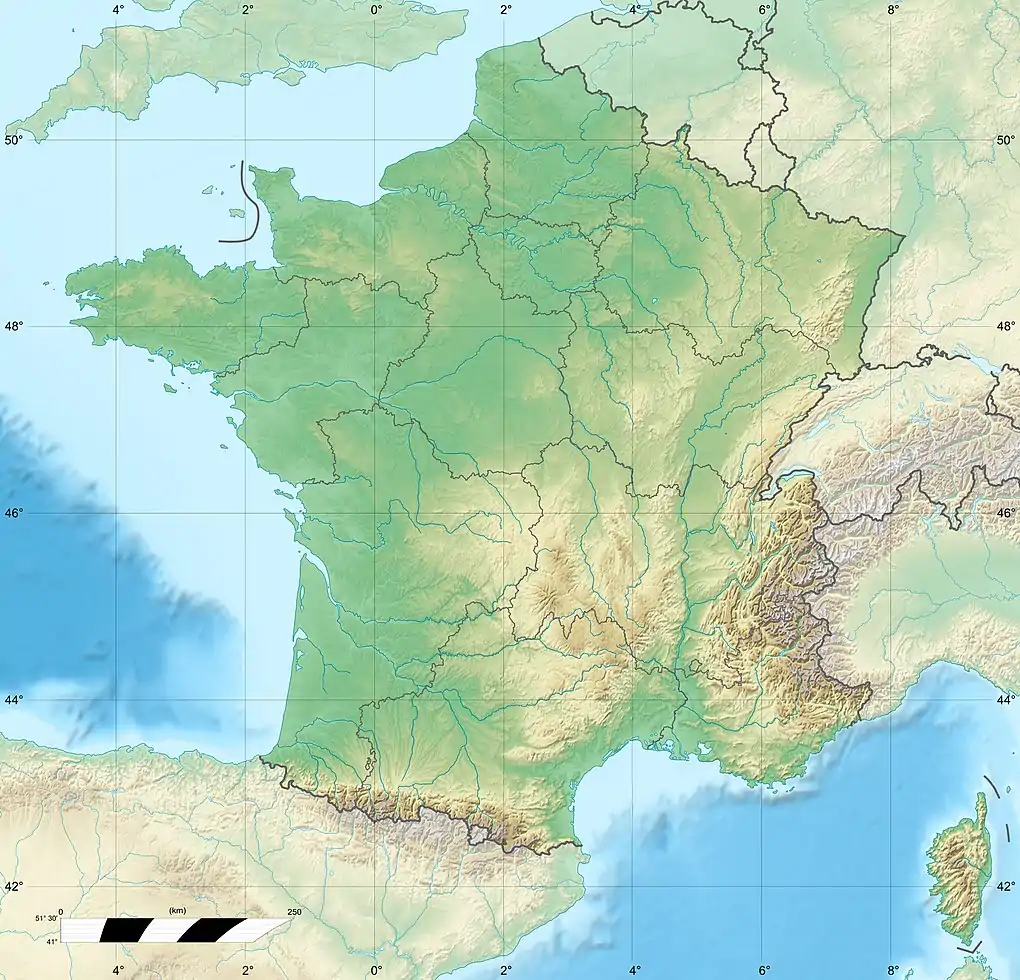
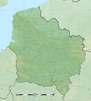
The Slack (French pronunciation: [slak], in Picard locally [s̟laːk]) is a 22-kilometre-long (14 mi) coastal river in the Pas-de-Calais department, in northern France.[1]
| Slack | |
|---|---|
 The Slack | |
  | |
| Native name | La Slack (French) |
| Location | |
| Country | France |
| Physical characteristics | |
| Source | |
| • location | Pas-de-Calais |
| Mouth | |
• location | English Channel |
• coordinates | 50°48′18″N 1°36′5″E |
| Length | 22 km (14 mi) |
It rises at Hermelinghen on Mount Binôt, flows through Rinxent, Marquise, Beuvrequen, Slack (village near Ambleteuse) and flows into the English Channel in Ambleteuse next to Fort Mahon.
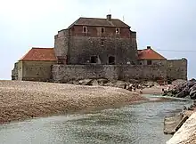
The Slack and Fort Mahon
References
Wikimedia Commons has media related to Slack River.
This article is issued from Wikipedia. The text is licensed under Creative Commons - Attribution - Sharealike. Additional terms may apply for the media files.