Sletta, Norway
Sletta is a village in Østre Toten Municipality in Innlandet county, Norway. The village is located about 3 kilometres (1.9 mi) to the northwest of the village of Lena and about 5 kilometres (3.1 mi) to the west of the village of Kapp.[3]
Sletta | |
|---|---|
Village | |
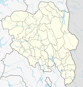 Sletta Location of the village 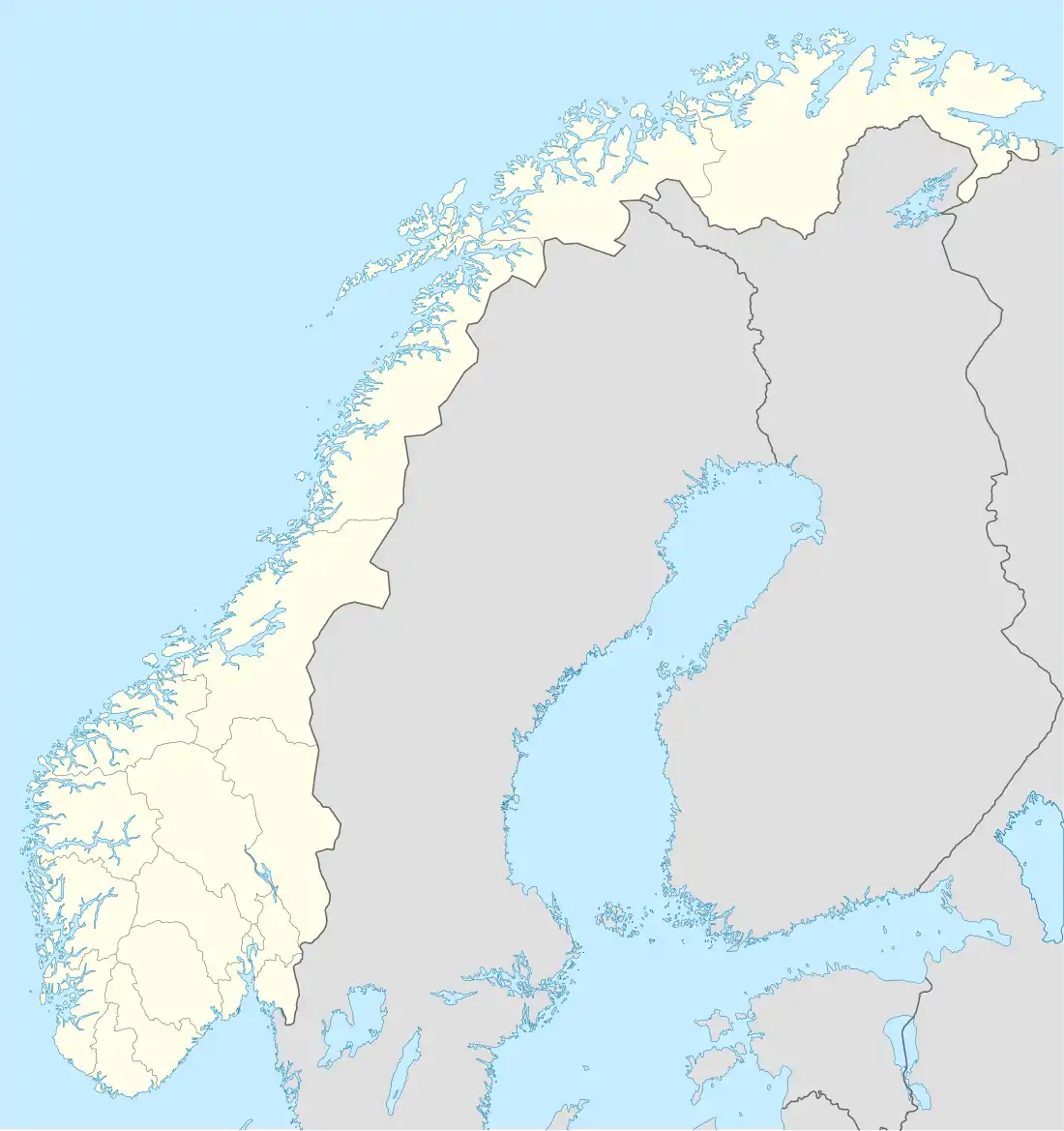 Sletta Sletta (Norway) | |
| Coordinates: 60.69312°N 10.7767°E | |
| Country | Norway |
| Region | Eastern Norway |
| County | Innlandet |
| District | Toten |
| Municipality | Østre Toten Municipality |
| Area | |
| • Total | 0.33 km2 (0.13 sq mi) |
| Elevation | 324 m (1,063 ft) |
| Population (2021)[1] | |
| • Total | 296 |
| • Density | 897/km2 (2,320/sq mi) |
| Time zone | UTC+01:00 (CET) |
| • Summer (DST) | UTC+02:00 (CEST) |
| Post Code | 2850 Lena |
The 0.33-square-kilometre (82-acre) village has a population (2021) of 296 and a population density of 897 inhabitants per square kilometre (2,320/sq mi).[1]
References
- Statistisk sentralbyrå (1 January 2021). "Urban settlements. Population and area, by municipality".
- "Sletta, Østre Toten". yr.no. Retrieved 20 October 2022.
- Thorsnæs, Geir, ed. (29 March 2022). "Sletta (tettsted)". Store norske leksikon (in Norwegian). Kunnskapsforlaget. Retrieved 20 October 2022.
This article is issued from Wikipedia. The text is licensed under Creative Commons - Attribution - Sharealike. Additional terms may apply for the media files.