Sollers Hope
Sollers Hope or Sollershope[1] is a village and civil parish 8 miles (13 km) south east of Hereford,[2] in the county of Herefordshire, England. In 2001 the parish had a population of 68.[3] The parish touches Brockhampton, How Caple, Much Marcle, Woolhope and Yatton.[4] Sollers Hope shares a parish council with How Caple and Yatton called "How Caple Sollershope and Yatton Group Parish Council".[5][6]
| Sollers Hope | |
|---|---|
 | |
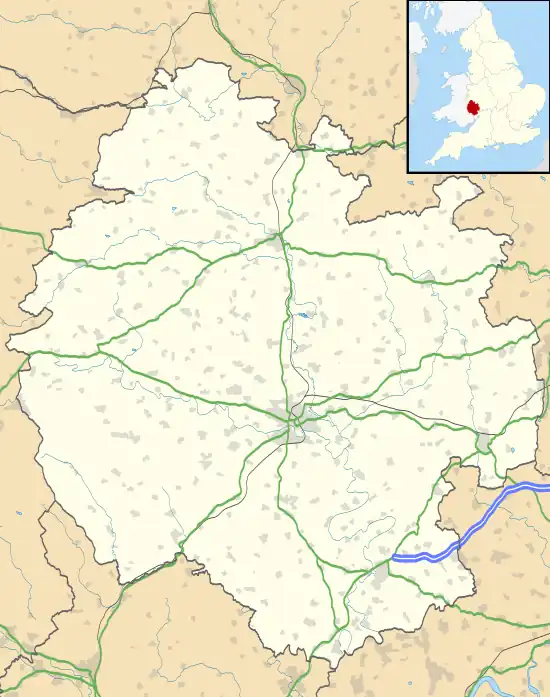 Sollers Hope Location within Herefordshire | |
| Area | 4.666 km2 (1.802 sq mi) |
| Population | 68 (2001 census) |
| • Density | 15/km2 (39/sq mi) |
| Civil parish |
|
| Unitary authority | |
| Shire county | |
| Region | |
| Country | England |
| Sovereign state | United Kingdom |
Landmarks
There are 14 listed buildings in Sollers Hope.[7] Sollers Hope has a church called St Michael.[8]
History
The name "Hope" means 'Valley', the Sollers part being because the de Solariis family held land in the 13th century.[9] Soller's Hope was recorded in the Domesday Book as Hope.[10]
References
- "Place names History of Sollers Hope in Herefordshire". A Vision of Britain through Time. Retrieved 6 July 2021.
- "Distance from Sollers Hope [51.995425, 2.565694]". GENUKI. Retrieved 6 July 2021.
- Neighbourhood Statistics
- "Sollers Hope". Ordnance Survey. Retrieved 5 July 2021.
- "Acton Beauchamp Group Parish Council". Herefordshire Council. Retrieved 6 July 2021.
- "Home". How Caple, Sollershope & Yatton. Retrieved 6 July 2021.
- "Listed buildings in Sollers Hope, Herefordshire". British Listed Buildings. Retrieved 6 July 2021.
- "Sollers Hope: St Michael". A Church Near You. Retrieved 6 July 2021.
- "Sollers Hope Key to English Place-names". The University of Nottingham. Retrieved 6 July 2021.
- "Herefordshire M-Z and Welsh entries". The Domesday Book Online. Retrieved 6 July 2021.
- "Sollers Hope". City Population De. Retrieved 5 July 2021.
External links
Wikimedia Commons has media related to Sollers Hope.
- "Sollers Hope". British History Online. Retrieved 6 July 2021.
This article is issued from Wikipedia. The text is licensed under Creative Commons - Attribution - Sharealike. Additional terms may apply for the media files.