Sommet du Pinet
The Sommet du Pinet (or Le Pinet or Le Truc) is a Chartreuse mountain situated at the south of the mont Granier, culminating at 1,867 m above sea level.
| Sommet du Pinet | |
|---|---|
 Cross at the top, with the Lances de Malissard in the background | |
| Highest point | |
| Elevation | 1,867 m (6,125 ft) |
| Coordinates | 45°25′57″N 05°54′14″E |
| Geography | |
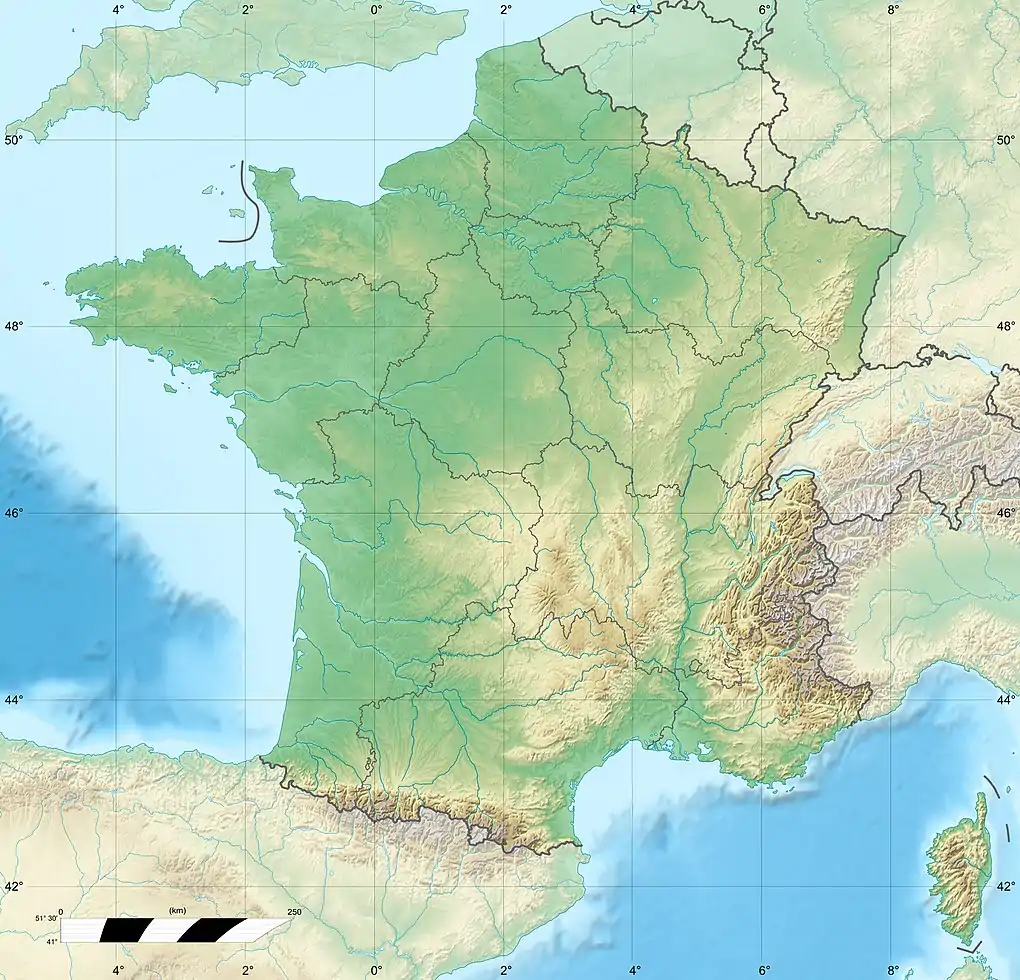 Sommet du Pinet France | |
| Location | Savoie, France |
| Parent range | Chartreuse Mountains |
Located between the townships of Entremont-le-Vieux, Saint-Pierre-d'Entremont in Savoie and Sainte-Marie-du-Mont, its ridge marks the border between Isère and Savoie.
Ascension
A departure for an hike is located at Saint-Pierre-d'Entremont in Savoie
Caving
Under the summit of the Pinet there is an important underground network, the Pinet - Brouillard system of 11,175 meters of development for 507 meters deep. This system is not connected to the Alpe network, although nearby. Nearby opens the grand Glacier network of 371 m of elevation gain for a length of 2,926 meters well known for its ice river.[1]
References
- "Quelques classiques spéléologiques en Chartreuse" (PDF). spéléo club de chartreuse. pp. 9–10. Retrieved July 24, 2017.
This article is issued from Wikipedia. The text is licensed under Creative Commons - Attribution - Sharealike. Additional terms may apply for the media files.