Stipan, Croatia
Stipan (Serbian Cyrillic: Стипан)[1] is a village in central Croatia, in the municipality of Gvozd, Sisak-Moslavina County. It is connected by the D6 highway.
Stipan
| |
|---|---|
Village | |
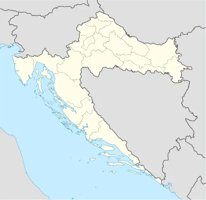 Stipan Location of Stipan in Croatia | |
| Coordinates: 45°27′29″N 15°52′28″E | |
| Country | |
| Region | Continental Croatia |
| County | Sisak-Moslavina County |
| Municipality | Gvozd |
| Area | |
| • Total | 7.1 km2 (2.7 sq mi) |
| Elevation | 182 m (597 ft) |
| Population (2021)[3] | |
| • Total | 22 |
| • Density | 3.1/km2 (8.0/sq mi) |
| Time zone | UTC+1 (CET) |
| • Summer (DST) | UTC+2 (CEST) |
| Postal code | 44410 |
| Area code | (+385) 44 |
History
Demographics
According to the 2011 census,[4] the village of Stipan has 50 inhabitants. This represents 21.93% of its pre-war population according to the 1991 census.
Population by ethnicity [4][5]
| Year of census | total | Serbs | Croats | Yugoslavs | others |
|---|---|---|---|---|---|
| 2011 | 50 | n/a | n/a | - | n/a |
| 2001 | 41 | n/a | n/a | - | n/a |
| 1991 | 228 | 201 (88.16%) | 5 (2.19%) | 5 (2.19%) | 17 (7.46%) |
| 1981 | 319 | 301 (94.36%) | 2 (0.62%) | 11 (3.45%) | 5 (1.57%) |
| 1971 | 451 | 447 (99.11%) | 3 (0.67%) | - | 1 (0.22%) |
Sources: Croatian Bureau of Statistics
Notable natives and residents
- Pete Romcevich (1906-1952)- American racing driver
- Nikola Vidović (1917-2000) - antifascist, partisan and People's Hero of Yugoslavia
References
- Government of Croatia (October 2013). "Peto izvješće Republike Hrvatske o primjeni Europske povelje o regionalnim ili manjinskim jezicima" (PDF) (in Croatian). Council of Europe. p. 36. Retrieved 30 November 2016.
- Register of spatial units of the State Geodetic Administration of the Republic of Croatia. Wikidata Q119585703.
- "Population by Age and Sex, by Settlements, 2021 Census". Census of Population, Households and Dwellings in 2021. Zagreb: Croatian Bureau of Statistics. 2022.
- "Population by Age and Sex, by Settlements, 2011 Census: Stipan". Census of Population, Households and Dwellings 2011. Zagreb: Croatian Bureau of Statistics. December 2012.
- Izdanje Državnog zavoda za statistiku RH: Narodnosni sastav stanovništva RH od 1880-1991. godine.
- Naselja i stanovništvo Republike Hrvatske 1857-2001, www.dzs.hr
This article is issued from Wikipedia. The text is licensed under Creative Commons - Attribution - Sharealike. Additional terms may apply for the media files.