Storekalsøy
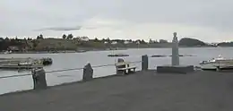
Storekalsøy or Stora Kalsøy is an island in Austevoll municipality in Vestland county, Norway.[1] The 6-square-kilometre (2.3 sq mi) island lies northwest of the larger island of Hundvåko and just east of the Marstein Lighthouse. The northern part of the island is very rocky and mountainous. The highest point is the 57-metre (187 ft) tall mountain Mjuken. The smaller islands of Nautøya and Spissøya lies just east of Stora Kalsøy. The smaller islands of Horgo, Møkster, and Litla Kalsøya lie to the south of Stora Kalsøy.
 View of Stora Kalsøy | |
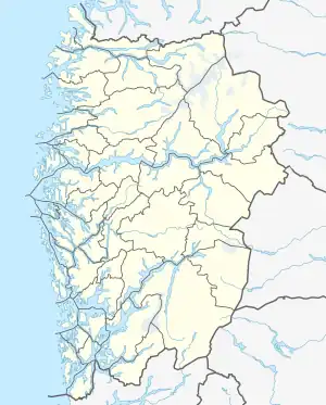
 Storekalsøy Location of the island  Storekalsøy Storekalsøy (Norway) | |
| Geography | |
|---|---|
| Location | Vestland, Norway |
| Coordinates | 60.1320°N 5.0653°E |
| Area | 6 km2 (2.3 sq mi) |
| Length | 2.8 km (1.74 mi) |
| Width | 3.2 km (1.99 mi) |
| Highest elevation | 57 m (187 ft) |
| Highest point | Mjuken |
| Administration | |
Norway | |
| County | Vestland |
| Municipality | Austevoll Municipality |
| Demographics | |
| Population | 167 (2007) |
| Pop. density | 27/km2 (70/sq mi) |
Virtually all the residents live along the southern and eastern coastline of the island. The main population centre of Stora Kalsøy is the village of Bakkasund where the Store-Kalsøy Chapel is located. The island had 167 inhabitants in 2001.[2]
See also
References
- "Stora Kalsøy, Austevoll (Hordaland)" (in Norwegian). yr.no. Retrieved 2014-12-18.
- "Folke- og bustadteljing 2001" (PDF) (in Norwegian). Statistics Norway. 2001.