Styków, Subcarpathian Voivodeship
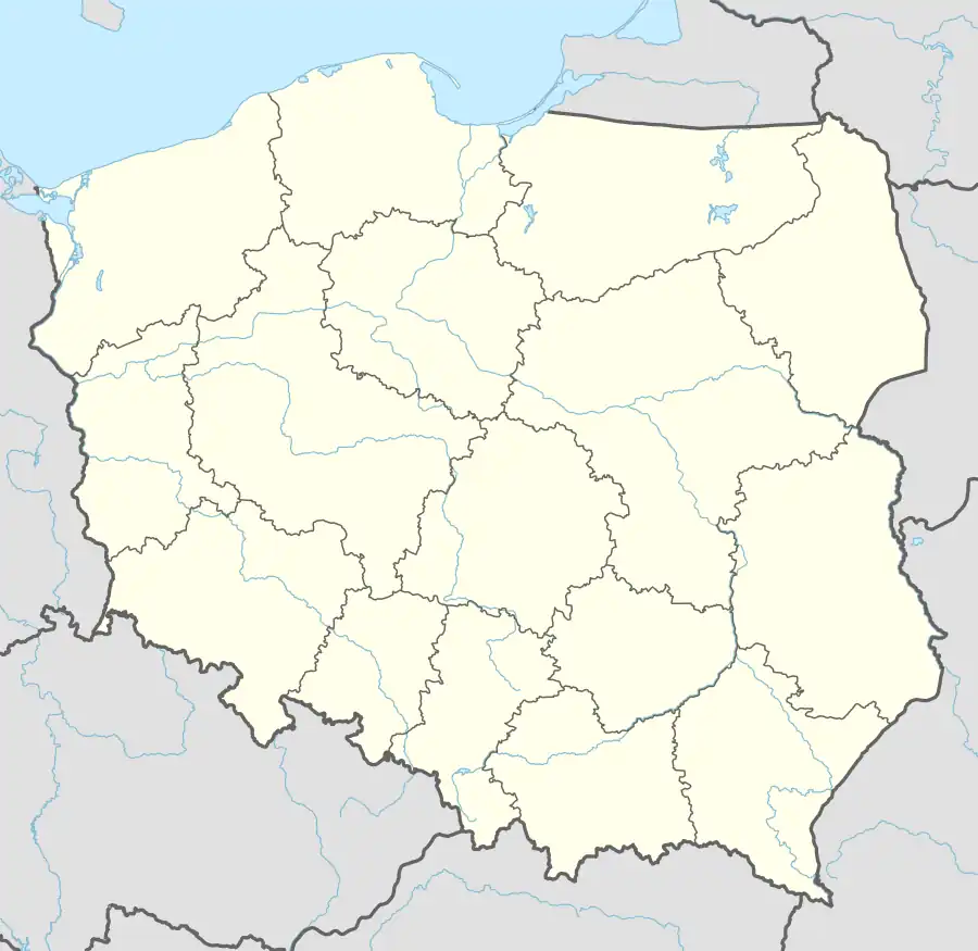
Styków [ˈstɨkuf] is a village which was until 31 December 2020 in the administrative district of Gmina Głogów Małopolski, within Rzeszów County, Subcarpathian Voivodeship, in south-eastern Poland.[1] From 1 January 2021 it became part of the town of Głogów Małopolski.[2] It is located of the Łęg River in the heartland of the Sandomierz Basin.
Styków | |
|---|---|
Village | |
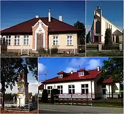 Styków: People's House, Church of St. Michael, Wayside shrine, Primary School | |
 Styków | |
| Coordinates: 50°11′N 21°57′E | |
| Country | |
| Voivodeship | Subcarpathian |
| County | Rzeszów County |
| Town | Głogów Małopolski |
| Area | |
| • Total | 9.71 km2 (3.75 sq mi) |
| Highest elevation | 255 m (837 ft) |
| Lowest elevation | 210 m (690 ft) |
| Population (2011) | |
| • Total | 845 |
| • Density | 87/km2 (230/sq mi) |
| Time zone | UTC+1 (CET) |
| • Summer (DST) | UTC+2 (CEST) |
| Postal code | 36-060 |
| Area code | +48 17 |
| Car plates | RZE |
It lies approximately 17 km (11 mi) north of the regional capital Rzeszów.
References
- "Central Statistical Office (GUS) – TERYT (National Register of Territorial Land Apportionment Journal)" (in Polish). 2008-06-01.
- Council of Ministers (2020-07-31). "Decision of the Council of Ministers no. 1332". Register of Laws of the Republic of Poland 2020/1332 (in Polish).
Wikimedia Commons has media related to Styków, Subcarpathian Voivodeship.
This article is issued from Wikipedia. The text is licensed under Creative Commons - Attribution - Sharealike. Additional terms may apply for the media files.