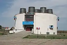
Sükhbaatar (city)
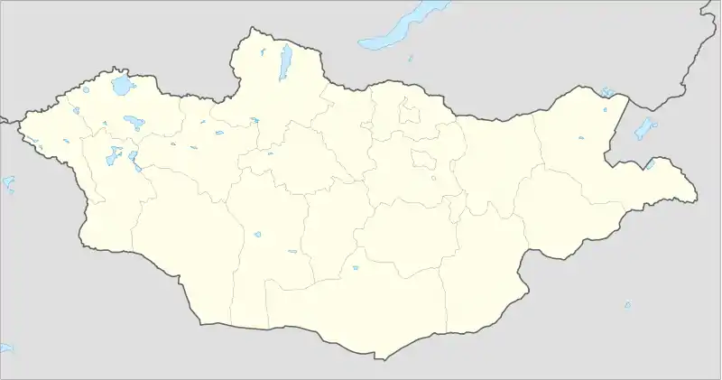
Sükhbaatar (Mongolian: Сүхбаатар, Russian: Сухэ-Батор) is the capital of Selenge Province in northern Mongolia, on the Orkhon river. As of late 2007, the city population is 19,224.[1]
Sükhbaatar
Сүхбаатар ᠰᠦᠬᠡᠪᠠᠭᠠᠲᠤᠷ | |
|---|---|
| Sükhbaatar District Сүхбаатар сум ᠰᠦᠬᠡᠪᠠᠭᠠᠲᠤᠷᠰᠤᠮᠤ | |
 Sükhbaatar outskirts with Russian border in the background | |
 Sükhbaatar Location in Mongolia | |
| Coordinates: 50°14′11″N 106°12′23″E | |
| Country | |
| Province | Selenge Province |
| Founded | 1940 |
| Area | |
| • Total | 45.0 km2 (17.4 sq mi) |
| Elevation | 1,124 m (3,688 ft) |
| Population (2017) | |
| • Total | 22,741 |
| • Density | 510/km2 (1,300/sq mi) |
| Climate | Dwb |
History
The city was founded in 1940 and named after the Mongolian revolutionary leader Damdin Sükhbaatar.
Transport
Sükhbaatar is the northernmost railway station on the Trans-Mongolian Railway in Mongolia. The first railway station on the Russian side of the border is Naushki.
Taxi service is available at the railway station and about a block north. Taxis offer service within Sükhbaatar as well as neighbouring Sums, like Shaamar (10,000- 15,000 tugs for whole car or 2,000 per person), you can also get a taxi to Darkhan for 8,000-10,000 tugs per person.
Climate
Sükhbaatar has a dry-winter warm-summer continental climate (Köppen Dwb).
| Climate data for Sukhbaatar, 1981–2010 | |||||||||||||
|---|---|---|---|---|---|---|---|---|---|---|---|---|---|
| Month | Jan | Feb | Mar | Apr | May | Jun | Jul | Aug | Sep | Oct | Nov | Dec | Year |
| Average high °C (°F) | −17.1 (1.2) |
−10.4 (13.3) |
1.3 (34.3) |
12.1 (53.8) |
20.2 (68.4) |
25.3 (77.5) |
26.9 (80.4) |
24.5 (76.1) |
18.1 (64.6) |
9.1 (48.4) |
−3.8 (25.2) |
−14.0 (6.8) |
7.7 (45.8) |
| Average low °C (°F) | −27.5 (−17.5) |
−23.9 (−11.0) |
−13.2 (8.2) |
−3.1 (26.4) |
4.1 (39.4) |
10.5 (50.9) |
14.1 (57.4) |
11.7 (53.1) |
4.4 (39.9) |
−3.8 (25.2) |
−14.4 (6.1) |
−23.4 (−10.1) |
−5.4 (22.3) |
| Average precipitation mm (inches) | 3.2 (0.13) |
2.4 (0.09) |
3.0 (0.12) |
8.3 (0.33) |
24.7 (0.97) |
52.0 (2.05) |
67.7 (2.67) |
69.9 (2.75) |
33.8 (1.33) |
9.2 (0.36) |
6.2 (0.24) |
4.0 (0.16) |
284.4 (11.2) |
| Average precipitation days | 6.6 | 4.5 | 5.9 | 6.5 | 10.2 | 14.4 | 16.9 | 15.0 | 10.6 | 6.5 | 6.7 | 7.1 | 110.9 |
| Source: World Meteorological Organization[2] | |||||||||||||
References
- Official site of the Selenge aimag (version 2008) Archived 2008-03-31 at the Wayback Machine
- "World Weather Information Service – Sukhbaatar". World Meteorological Organization. Retrieved November 12, 2022.