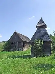
Gănești
Gănești (Hungarian: Vámosgálfalva, Hungarian pronunciation: [ˈvaːmoʃɡaːlfɒlvɒ]) is a commune in Mureș County, Transylvania, Romania. It is composed of four villages: Gănești, Păucișoara (Küküllőpócsfalva), Seuca (Szőkefalva) and Sub Pădure (Erdőalja). It also included Cuștelnic village until 2002, when it was transferred to Târnăveni city.
Gănești
Vámosgálfalva | |
|---|---|
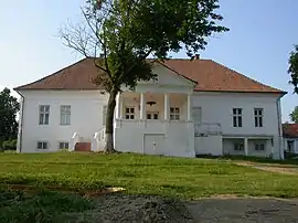 Dániel Castle in Gănești village | |
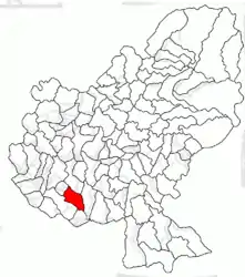 Location in Mureș County | |
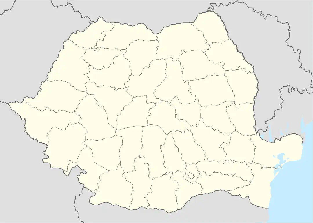 Gănești Location in Romania | |
| Coordinates: 46.33°N 24.35°E | |
| Country | Romania |
| County | Mureș |
| Government | |
| • Mayor | Elemér Balog[1] (UDMR) |
| Area | 47.11 km2 (18.19 sq mi) |
| Highest elevation | 504 m (1,654 ft) |
| Lowest elevation | 347 m (1,138 ft) |
| Population (2011-10-31)[2] | 3,573 |
| • Density | 76/km2 (200/sq mi) |
| Time zone | EET/EEST (UTC+2/+3) |
| Postal code | 547255 |
| Vehicle reg. | MS |
| Website | www |
The commune is located in the southern part of the county, on the Transylvanian Plateau, at a distance of 5 km (3.1 mi) from Târnăveni. It lies on both banks of the river Târnava Mică and it is traversed by the river Băgaciu (or Bedea).[3]
Gănești borders the communes Cucerdea and Ogra to the north, Mica to the east, Băgaciu to the south, and the city of Târnăveni to the west.[3]
As of January 1, 2012, the commune had a population of 3,511, of which 2,300 were ethnic Hungarians (65.5%), 862 ethnic Romanians (24.5%), and 346 ethnic Romanis (9.9%).[3]
See also
- List of Hungarian exonyms (Mureș County)
- Saint Michael the Archangel Church (Sub Pădure)
- Saint John the Baptist Church (Seuca)
- Rhédei-Rothenthal Castle
References
- "Results of the 2020 local elections". Central Electoral Bureau. Retrieved 8 July 2021.
- "Populaţia stabilă pe judeţe, municipii, oraşe şi localităti componenete la RPL_2011" (XLS). National Institute of Statistics.
- "Primăria Gănești: Prezentare". www.primariaganesti.ro (in Romanian). Gănești townhall. Retrieved July 7, 2021.
.JPG.webp)
.JPG.webp)
