Tagagawik River
The Tagagawik River is a stream, 85 miles (137 km) long, in the northwestern part of the U.S. state of Alaska.[2] It flows generally north and joins the Selawik River approximately 30 miles (48 km) south east of the village of Selawik.[2]
| Tagagawik River | |
|---|---|
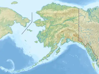 Location of the mouth of the Tagagawik River in Alaska | |
| Location | |
| Country | United States |
| State | Alaska |
| District | Yukon–Koyukuk Census Area, Northwest Arctic Borough |
| Physical characteristics | |
| Source | |
| • location | Yukon–Koyukuk Census Area |
| • coordinates | 65°23′01″N 159°12′14″W[1] |
| Mouth | the Selawik River |
• location | 30 miles (48 km) south east of Selawik, Northwest Arctic Borough |
• coordinates | 66°27′52″N 159°00′35″W[1] |
| Length | 85 mi (137 km)[2] |
Its Inuit name was first reported in 1886 by U.S. Navy Lieutenant George M. Stoney, which he spelled as "Tag-gag-a-wik".[1][2] The name appeared on a map in 1900.[1][2]
See also
References
- "Tagagawik River". Geographic Names Information System. United States Geological Survey. March 31, 1981. Retrieved March 14, 2021.
- Orth, Donald J.; United States Geological Survey (1971) [1967]. Dictionary of Alaska Place Names: Geological Survey Professional Paper 567 (PDF). University of Alaska Fairbanks. United States Government Printing Office. p. 940. Archived from the original (PDF) on October 17, 2013. Retrieved September 17, 2013.
This article is issued from Wikipedia. The text is licensed under Creative Commons - Attribution - Sharealike. Additional terms may apply for the media files.