Tell Hamis
Tell Hamis (Arabic: تَلّ حَمِيس, romanized: Tall Ḥamīs) is a town in northeastern Hasakah Governorate, northeastern Syria. The Wadi Jarrah flows through the town. It is the administrative center of the Tell Hamis Subdistrict, consisting of 129 localities.
Tell Hamis
تَلّ حَمِيس | |
|---|---|
Town | |
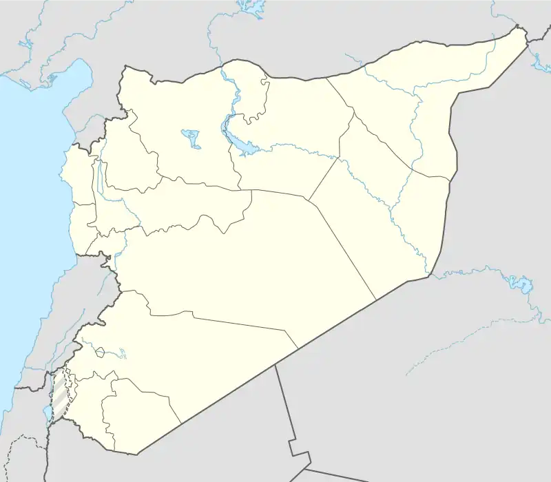 Tell Hamis Location of Tell Hamis in Syria | |
| Coordinates: 36.7586°N 41.3989°E | |
| Country | |
| Governorate | al-Hasakah |
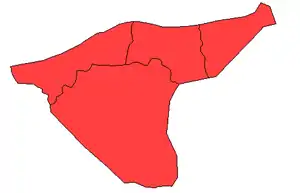
| District | Qamishli |
| Subdistrict | Tell Hamis |
| Population (2004)[1] | 5,161 |
| Time zone | UTC+2 (EET) |
| • Summer (DST) | UTC+3 (EEST) |
| Geocode | C4639 |
At the 2004 census, Tell Hamis had a population of 5,161.[1] The inhabitants of the town are predominantly Arabs.[2]
Civil war
After falling to the Islamic State, it was retaken by Kurdish YPG forces and the Assyrian MFS on February 27, 2015.[3]
See also
References
- "2004 Census Data for Nahiya Tell Hamis" (in Arabic). Syrian Central Bureau of Statistics. Also available in English: UN OCHA. "2004 Census Data". Humanitarian Data Exchange.
- "Kurdish forces regain new villages near Qamishli after ISIS withdrawal". Aranews. 2015. Archived from the original on February 26, 2015. Retrieved 30 May 2015.
- "Kurdish forces 'capture strategic IS Syria bastion'". AFP. 27 February 2015. Retrieved 27 February 2015.

This article is issued from Wikipedia. The text is licensed under Creative Commons - Attribution - Sharealike. Additional terms may apply for the media files.