The Sawtooth
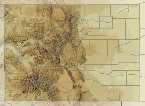
The Sawtooth is a jagged arête joining Mount Bierstadt to (eventually) Mount Blue Sky in the Front Range of central Colorado.[4] The three points along this arête resemble the teeth of a saw, leading to its name. The southeast wall of the arête is the head of the cirque above Abyss Lake, while its northwest wall is the cirque at the head of a valley above Guanella Pass. The northeast end of the sawtooth joins directly to the shoulder of Mount Spalding, from which a second (and slightly less abrupt) arête leads southeast to Mount Blue Sky. This second arête divides the glacial valley of Abyss Lake to the southwest from the cirque of Summit Lake to the northeast.

Mount Spalding on the left, The Sawtooth, center, and Mount Bierstadt on the right, seen from Guanella Pass, to the northwest
| The Sawtooth | |
|---|---|
 A climber leaning on an overhang that's part of the sawtooth. Behind him, to the left, is a shoulder of Mount Blue Sky, and Mount Bierstadt is to the right, off screen. Abyss Lake can be seen below. | |
| Highest point | |
| Elevation | 13,786 ft (4,202 m)[1][2] |
| Prominence | 120 ft (37 m)[2] |
| Isolation | 0.62 mi (1.00 km)[2] |
| Coordinates | 39°35′21″N 105°39′57″W[3] |
| Geography | |
 The Sawtooth | |
| Location | Clear Creek County, Colorado, United States[3] |
| Parent range | Front Range, Chicago Peaks[2] |
| Topo map | USGS 7.5' topographic map Mount Evans, Colorado[2] |
| Climbing | |
| Easiest route | Class 3 from Guanella Pass, 6.75 mile round trip |
See also
References
- The elevation of The Sawtooth includes an adjustment of +1.820 m (+5.97 ft) from NGVD 29 to NAVD 88.
- "The Sawtooth, Colorado". Peakbagger.com. Retrieved November 6, 2014.
- "The Sawtooth". Geographic Names Information System. United States Geological Survey, United States Department of the Interior. Retrieved November 6, 2014.
- Randy Jacobs and Robert M. Ormes, Guide to the Colorado Mountains, Colorado Mountain Club Press, 2000; page 74.
External links
- The Sawtooth on 13ers.com
- The Sawtooth on Listsofjohn.com
- The Sawtooth on Peakbagger.com
- The Sawtooth on Peakery.com
- Sawtooth on Summitpost.org
This article is issued from Wikipedia. The text is licensed under Creative Commons - Attribution - Sharealike. Additional terms may apply for the media files.