Thel, Rhône
Thel (French pronunciation: [tɛl]) is a former commune in the Rhône department in eastern France.
Thel | |
|---|---|
Part of Cours | |
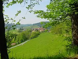 The landscape of Thel | |
.svg.png.webp) Coat of arms | |
Location of Thel | |
 Thel  Thel | |
| Coordinates: 46°06′59″N 4°22′40″E | |
| Country | France |
| Region | Auvergne-Rhône-Alpes |
| Department | Rhône |
| Arrondissement | Villefranche-sur-Saône |
| Canton | Thizy-les-Bourgs |
| Commune | Cours |
| Area 1 | 10.27 km2 (3.97 sq mi) |
| Population (2019)[1] | 339 |
| • Density | 33/km2 (85/sq mi) |
| Time zone | UTC+01:00 (CET) |
| • Summer (DST) | UTC+02:00 (CEST) |
| Postal code | 69470 |
| Elevation | 547–905 m (1,795–2,969 ft) (avg. 780 m or 2,560 ft) |
| 1 French Land Register data, which excludes lakes, ponds, glaciers > 1 km2 (0.386 sq mi or 247 acres) and river estuaries. | |
History
On 1 January 2016, Cours-la-Ville, Pont-Trambouze and Thel merged becoming one commune called Cours.
See also
References
Wikimedia Commons has media related to Thel.
This article is issued from Wikipedia. The text is licensed under Creative Commons - Attribution - Sharealike. Additional terms may apply for the media files.