Timonha River
The Timonha River is a river of Ceará state in eastern Brazil. Like many small rivers of northeastern Brazil, the Timonha River dries up between July and November and only flows during the rainy season.[1] According to a survey by the United States Hydrographic Office, the Timonha River is too small to allow passage by boats.[2]
| Timonha River | |
|---|---|
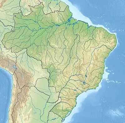 Mouth location in Brazil | |
| Native name | Rio Timonha (Portuguese) |
| Location | |
| Country | Brazil |
| Physical characteristics | |
| Source | |
| • location | Ibiapina Mountain, Viçosa do Ceará, Ceará state |
| Mouth | |
• location | Atlantic Ocean |
• coordinates | 2°56′00″S 41°16′00″W |
| Length | 90 km (56 mi) |
The river is part of the Timonha-Ubatuba estuarine system, which has the largest mangrove ecosystem in Ceará.[1]
The river delta is protected by the 313,800 hectares (775,000 acres) Delta do Parnaíba Environmental Protection Area, created in 1996.[3]
See also
References
- Onofre de Morais, Jáder; Braga Dias, Carolina; de Souza Pinheiro, Lidriana. "Depuration Capacity of the Timonha-Ubatuba Estuarine System, in Ceará State, Brazil" (PDF). Arquivos de Ciências do Mar. 47 (1): 30–37. Retrieved 2022-06-21.
- Change No. 7 to H.O. Pub. No. 23, Sailing Directions for South America, Vol. 1 (5th ed.). United States Hydrographic Office. 1962-07-07. p. 110.
- APA Delta do Parnaíba (Federal) (in Portuguese), ISA: Instituto Socioambiental, retrieved 2017-02-09
This article is issued from Wikipedia. The text is licensed under Creative Commons - Attribution - Sharealike. Additional terms may apply for the media files.