Tinajo (municipality)
Tinajo is a municipality in the western part of the island of Lanzarote in the Province of Las Palmas in the Canary Islands, Spain. The population is 6119 (2018),[3] and the area is 135.28 square kilometres (52.23 sq mi).[1] The municipality is located on the island's northwestern coast and is northwest of the island's capital, Arrecife. The main town in the municipality is Tinajo.
Tinajo | |
|---|---|
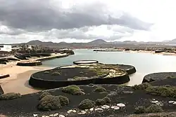
 Former desalination lagoon in Tinajo | |
.gif) Flag .svg.png.webp) Coat of arms | |
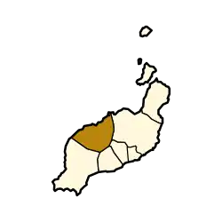
 Municipal location in Lanzarote | |
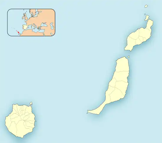
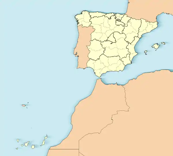
 Tinajo Location in the province of Las Palmas  Tinajo Tinajo (Canary Islands)  Tinajo Tinajo (Spain, Canary Islands) | |
| Coordinates: 29°4′N 13°40′W | |
| Country | |
| Autonomous community | |
| Province | Las Palmas |
| Island | Lanzarote |
| Government | |
| • Mayor | Jesús Casimiro Machín Duque (CC) |
| Area | |
| • Total | 135.28 km2 (52.23 sq mi) |
| Population (2018)[2] | |
| • Total | 6,119 |
| • Density | 45/km2 (120/sq mi) |
| Time zone | UTC±0 (WET) |
| • Summer (DST) | UTC+1 (WEST) |
| Postal code | 35530 |
| Website | tinajo |
Historical population
|
| ||||||||||||||||||||||||
| Source: Centro de Datos, Cabildo de Lanzarote[3] | |||||||||||||||||||||||||
Settlements
The following settlements are located within the municipality of Tinajo:
Sites of interest
The Timanfaya National Park (created in 1974) covers the southwestern part of the municipality and is where most of its volcanoes are located. The park features volcanoes and rugged lands. The rest of the park is in the municipality of Yaiza.
The chapel of Our Lady of Dolours (Virgen de los Dolores), the patron saint of the island of Lanzarote, is located in Mancha Blanca, within the municipality of Tinajo.
See also
References
- Instituto Canario de Estadística, area
- Municipal Register of Spain 2018. National Statistics Institute.
- "Población de derecho de Lanzarote según municipio. Evolución (1996-2019)" [Legal population of Lanzarote by municipality. Evolution (1996-2019)] (in Spanish). Centro de Datos, Cabildo de Lanzarote. Retrieved 2019-07-16.