Tonimbuk, Victoria
Tonimbuk is a bounded rural locality in Victoria, Australia, 70 kilometres (43 mi) south-east of Melbourne's Central Business District, located within the Shire of Cardinia local government area. Tonimbuk recorded a population of 229 at the 2021 census.[1]
| Tonimbuk Victoria | |
|---|---|
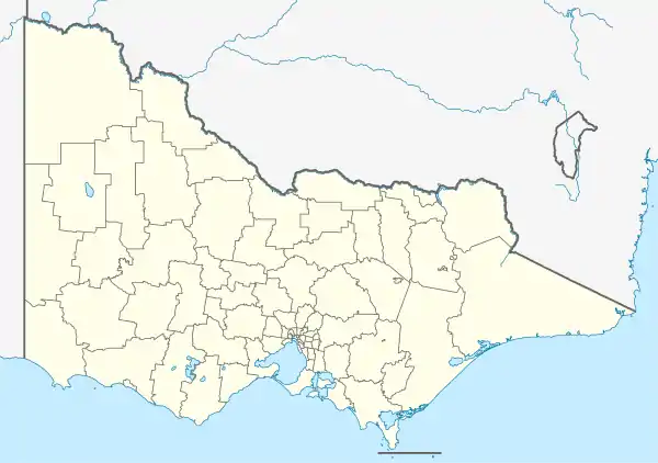
 Tonimbuk Location in Victoria | |
| Coordinates | 38°0′S 145°43′E |
| Population | 229 (2021 census)[1] |
| Postcode(s) | 3815 |
| Location | 70 km (43 mi) from Melbourne |
| LGA(s) | Shire of Cardinia |
| State electorate(s) | Bass |
| Federal division(s) | Monash |
History
A Telegraph Office was open in Tonimbuk from 1953 until 1959.[2]
Devastating fires in early March 2019 almost wiped this town off the map. It has since recovered and, like the state forests and farmlands that surround it, is now growing again.
See also
- Shire of Pakenham – Tonimbuk was previously within this former local government area.
References
- Australian Bureau of Statistics (28 June 2022). "Tonimbuk (Suburbs and Localities)". 2021 Census QuickStats. Retrieved 10 July 2022.
- Phoenix Auctions History, Post Office List, retrieved 11 April 2021
This article is issued from Wikipedia. The text is licensed under Creative Commons - Attribution - Sharealike. Additional terms may apply for the media files.
