Tonto Village, Arizona
Tonto Village is a census-designated place (CDP) in Gila County, Arizona, United States. The population was 256 at the 2010 United States Census.[3]
Tonto Village, Arizona | |
|---|---|
 Tonto Village  Tonto Village | |
| Coordinates: 34°18′58″N 111°7′55″W | |
| Country | United States |
| State | Arizona |
| County | Gila |
| Area | |
| • Total | 0.33 sq mi (0.87 km2) |
| • Land | 0.33 sq mi (0.87 km2) |
| • Water | 0.00 sq mi (0.00 km2) |
| Elevation | 5,720 ft (1,740 m) |
| Population (2020) | |
| • Total | 209 |
| • Density | 625.75/sq mi (241.37/km2) |
| Time zone | UTC-7 (MST (no DST)) |
| ZIP code | 85541[2] |
| Area code | 928 |
| FIPS code | 04-74665 |
| GNIS feature ID | 35390 |
Geography
Tonto Village is located in northern Gila County in Thompson Draw, a valley south of the Mogollon Rim. It is 1 mile (1.6 km) west of Arizona State Route 260, which leads southwest 15 miles (24 km) to Payson.
According to the United States Census Bureau, the Tonto Village CDP has a total area of 0.34 square miles (0.87 km2), all land.[3]
It includes one restaurant. The charter school and church that were previously listed have since closed. The Fire Control road that runs through the village is the sole point of access to the Diamond Point Fire Tower.
References
- "2020 U.S. Gazetteer Files". United States Census Bureau. Retrieved October 29, 2021.
- "Tonto Village AZ ZIP Code". zipdatamaps.com. 2023. Retrieved May 3, 2023.
- "Geographic Identifiers: 2010 Demographic Profile Data (G001): Tonto Village CDP, Arizona". U.S. Census Bureau, American Factfinder. Retrieved November 8, 2016.
- "Census of Population and Housing". Census.gov. Retrieved June 4, 2016.
Municipalities and communities of Gila County, Arizona, United States | ||
|---|---|---|
| City | 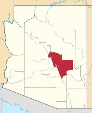 | |
| Towns | ||
| CDPs |
| |
| Populated places | ||
| Indian reservations | ||
| Ghost towns | ||
| Footnotes | ‡This populated place also has portions in an adjacent county or counties | |
This article is issued from Wikipedia. The text is licensed under Creative Commons - Attribution - Sharealike. Additional terms may apply for the media files.