Topo Volcano
Topo Volcano (Portuguese: Vulcão do Topo) is an inactive shield volcano located on Pico Island, Azores. The volcano measures 1,002 m (3,287 ft) in height and occupies the southernmost area of the island. It is part of the Lajes (or Topo) Volcanic Complex, the oldest volcanic apparatus which gave origin to the island, around 300,000 years ago. The volcano was created by a 600 m (2,000 ft) thick superposition of alternated Pāhoehoe lava flows and thin layers (10%) of pyroclastic material.[4][1][3][2]
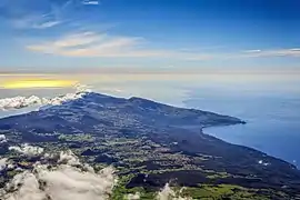
The volcano can be seen in the centre, bordered by its lava delta (forming the Lajes Bay) to the right, and the volcanic complex of the Achada Plateau to the left
| Topo Volcano | |
|---|---|
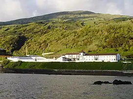 The volcano, seen northeast of Lajes do Pico | |
| Highest point | |
| Elevation | 1,002 m (3,287 ft) |
| Coordinates | 38°25′21″N 28°13′34″W |
| Dimensions | |
| Area | 18 km3 (4.3 cu mi) (subaerial) |
| Volume | 8 km3 (1.9 cu mi) (subaerial) |
| Geography | |
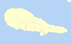 Topo Volcano 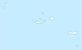 Topo Volcano Topo Volcano (Azores) 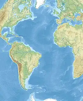 Topo Volcano Topo Volcano (Atlantic Ocean) | |
| Country | |
| Geology | |
| Age of rock | 300,000-10,000 years[1] |
| Mountain type | Shield volcano |
| Type of rock | Ankaramite[2] |
| Last eruption | 5,000-10,000 years ago[3] |
Its land area is approximately 18 km2 (6.9 sq mi) but its total area, accounting for the sea floor and the area that gave rise to the Achada Plateau, is estimated to be around 120 km2 (46 sq mi).[3]
References
- "Vulcão do Topo (Pico)". pt.artazores.com. Retrieved 15 June 2021.
- "Enciclopédia Açoriana". Cultura Açores (in Portuguese). Retrieved 15 June 2021.
- Nunes, João C.; Lima, Eva A.; Fontiela, João (June 2006). "Caracterização geomorfológica e geológica da fajã lávica das Lages do Pico (Açores). Condicionantes e vulnerabilidades associadas". XII Expedição Científica do Departamento de Biologia. 34. Retrieved 15 June 2021.
- Cruz, José V.; Silva, Manuel O. "Estudo do efeito de maré em aquíferos costeiros: O caso de estudo da ilha do Pico (Açores - Portugal)" (PDF). Retrieved 15 June 2021.
This article is issued from Wikipedia. The text is licensed under Creative Commons - Attribution - Sharealike. Additional terms may apply for the media files.