Tumba-Lediima Nature Reserve
Tumba-Lediima Nature Reserve is a protected area in the Democratic Republic of the Congo. It lies immediately east of the Congo River, in Mai-Ndombe and Équateur provinces, and extends from east of the town of Yumbi to just south of the town of Liranga.[1]
| Tumba-Lediima Nature Reserve | |
|---|---|
| Réserve naturelle de Tumba-Lediima | |
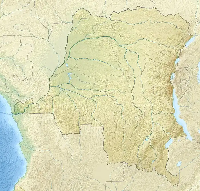 Location of Tumba-Lediima Nature Reserve in the Democratic Republic of the Congo | |
| Location | Mai-Ndombe and Équateur provinces, Democratic Republic of the Congo |
| Coordinates | 1°30′S 17°18′E |
| Area | 7,411.77 km2 (2,861.70 sq mi) |
| Designation | Nature reserve |
| Designated | 2006 |
It protects a portion of the eastern Congolian swamp forests.[2]
The reserve was designated in 2006, and covers an area of 7411.77 km2.[1]
The reserve, along with Ngiri Triangle Nature Reserve to the northeast, is part of the Triangle de la Ngiri Ramsar Site, a designated wetland of international importance covering 65,696.24 km2.[3]
References
This article is issued from Wikipedia. The text is licensed under Creative Commons - Attribution - Sharealike. Additional terms may apply for the media files.