Twin Falls (Newfoundland and Labrador)
Twin Falls is the site of a hydroelectric power station developed by the British Newfoundland Development Corporation (Brinco) to deliver power[1] to mining operations in Labrador City and Wabush.[2]
| Twin Falls Hydroelectric Power Station | |
|---|---|
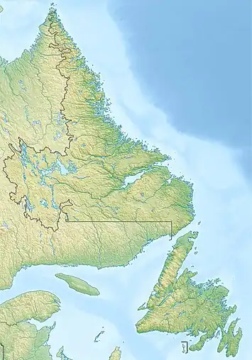
 Location of Twin Falls Hydroelectric Power Station in Newfoundland and Labrador | |
| Location | Canada Newfoundland and Labrador |
| Coordinates | 53°29′47.5″N 64°30′59.4″W |
| Construction began | 1960 |
| Opening date | 1963 |
| Construction cost | $47,500,000 |
| Owner(s) | Newfoundland and Labrador Hydro |
| Reservoir | |
| Creates | Ossokmanuan Reservoir |
| Power Station | |
| Decommission date | 1974 |
| Turbines | 7 |
| Installed capacity | 225 MW |
| Website Official website | |
The station was on the Unknown River, a tributary of the Churchill River that drains the central Labrador basin. Construction began in 1960. The river was dammed at Twin Falls to form the Ossokmanuan Reservoir. When finished in 1963, the station had a total capacity of 225 MW with two 115-mile (185 km) long transmission lines at 230,000 volts (or 230 kV). It cost $47.5 million (1963).[1]
Twin Falls power was essential to the later development at Churchill Falls. It helped open up the area and supplied the power required during the construction phase of the project. In the planning stage, however, it became apparent that greater efficiency in the production of electricity could be achieved by diverting the flow of water from the Ossokmanuan Reservoir into the Smallwood Reservoir.[3] Utilizing this water at the Churchill Falls plant enabled approximately three times as much electricity to be produced from the same volume of water. In July 1974 the Twin Falls plant was put into extended shutdown and the water diverted into the Smallwood Reservoir under an agreement with Churchill Falls Labrador Corporation Limited (CFLCo).[1]
Aerodrome
Twin Falls Aerodrome | |||||||||||
|---|---|---|---|---|---|---|---|---|---|---|---|
| Summary | |||||||||||
| Airport type | Private | ||||||||||
| Operator | Newfoundland and Labrador Hydro | ||||||||||
| Serves | Twin Falls Hydroelectric Power Station | ||||||||||
| Location | Twin Falls, Labrador | ||||||||||
| Time zone | AST (UTC−04:00) | ||||||||||
| • Summer (DST) | ADT (UTC−03:00) | ||||||||||
| Elevation AMSL | 1,463 ft / 446 m | ||||||||||
| Map | |||||||||||
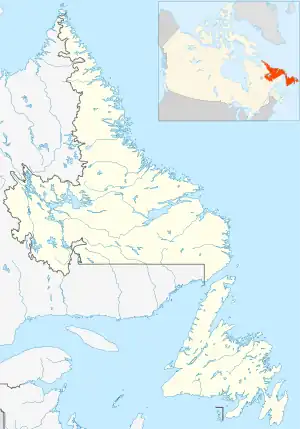
 Twin Falls Location in Newfoundland and Labrador | |||||||||||
| Runways | |||||||||||
| |||||||||||
Sources: Canada Flight Supplement[4] | |||||||||||
Twin Falls Aerodrome is an abandoned airport located .350 NM (0.648 km; 0.403 mi) southeast of the Twin Falls Hydroelectric Power Station, in Labrador, Canada.
References
- "Hydro-power development in Labrador". Richard Gilbert. Retrieved 21 July 2019.
- "Electrifying Labrador". Heritage Newfoundland & Labrador. Retrieved 21 July 2019.
- https://nalcorenergy.com/wp-content/uploads/2016/12/Twin-Falls-Q1-2016-ISSUED-FINAL.pdf
- Canada Flight Supplement. Effective 0901Z 16 July 2020 to 0901Z 10 September 2020.