Tywardreath Highway
Originally a small mining hamlet,[1][2] after expansion during the 20th century, Tywardreath Highway now directly adjoins St Blazey and is within the same electoral district.[3][4] The hamlet contains around 70 houses.
[5]
| Tywardreath Highway | |
|---|---|
| Hamlet | |
 | |
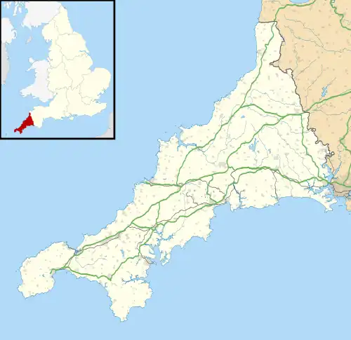 Tywardreath Highway Location within Cornwall | |
| OS grid reference | SX 0744 5530 |
| Civil parish | |
| Unitary authority | |
| Ceremonial county | |
| Region | |
| Country | England |
| Sovereign state | United Kingdom |
| Post town | PAR |
| Postcode district | PL24 |
| Dialling code | 01726 |
| Police | Devon and Cornwall |
| Fire | Cornwall |
| Ambulance | South Western |
| UK Parliament | |
References
- "Old Maps of Tywardreath Highway - Francis Frith". www.francisfrith.com. Retrieved 9 October 2017.
- "Ordnance Survey Old Map overlay of Tywardreath Highway, Cornwall | 50.363179 | -4.714966". www.archiuk.com. Retrieved 9 October 2017.
- StreetCheck. "Interesting Information for Tywardreath Highway, Par, PL24 2RN Postcode". StreetCheck. Retrieved 9 October 2017.
- Seed, Barbara. "Tywardreath Highway". www.tywardreath.org.uk. Retrieved 8 October 2017.
- "17/00116/REF - Two storey dwelling Land East Of Annears Garage Tywardreath Highway Par Cornwall PL24 2RN". planning.cornwall.gov.uk. Retrieved 9 October 2017.
| Unitary authorities | |
|---|---|
| Major settlements (cities in italics) |
|
| Rivers | |
| Topics | |
This article is issued from Wikipedia. The text is licensed under Creative Commons - Attribution - Sharealike. Additional terms may apply for the media files.