Ulceby, North Lincolnshire
Ulceby is a village and civil parish in North Lincolnshire, England. It is situated 0.5 miles (0.8 km) north from the A180 road, 10 miles (16 km) north-west from Grimsby and 14 miles (23 km) east from Scunthorpe. Ulceby is a rural village surrounded by fields, farms and the nearby villages of Habrough, Wootton and Croxton.
| Ulceby | |
|---|---|
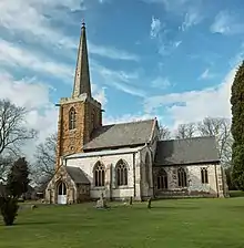
 Ulceby village | |
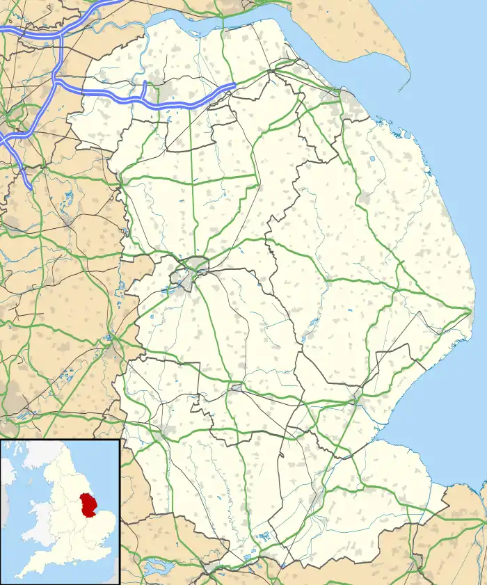
 Ulceby Location within Lincolnshire | |
| Population | 1,711 (2011) |
| OS grid reference | TA109148 |
| • London | 155 mi (249 km) S |
| Unitary authority | |
| Ceremonial county | |
| Region | |
| Country | England |
| Sovereign state | United Kingdom |
| Post town | ULCEBY |
| Postcode district | DN39 |
| Police | Humberside |
| Fire | Humberside |
| Ambulance | East Midlands |
| UK Parliament | |
At the 2001 census the village had a population of 1,500 in 631 households,[1] and at the 2011 census the village had grown to 1,711.[2]
Facilities


Village facilities include a Co-op convenience store and Post Office, village hall and community centre, a playing field, play area, veterinary centre, hairdressers and a guest house. There are fast food outlets: a fish and chip shop and a Chinese takeaway. Ulceby public houses are The Fox Inn, and the Yarborough Arms located 1 mile (1.6 km) from the centre of the village; a previous public house, The Brocklesby Ox, is now the site of the aforementioned convenience store. The village has a preschool and primary St Nicholas C of E Primary School.[3]
Ulceby railway station, at Ulceby Skitter, is situated 1 mile, and Ulceby Truck Stop (an HGV park with cafe and petrol station) 2 miles (3 km) from the centre of village.
Religious sites and landmarks are the Anglican church of St Nicholas, Ulceby Seventh-day Adventist Chapel, and a war memorial; Ulceby Methodist Chapel closed in June 2011.
Notable people
- Vivian Hollowday – George Cross recipient[4]
- Ryan Foster – musician and rapper [5]
References
- "Key Figures for 2001 Census: Key Statistics: Area: Ulceby CP (Parish)". Neighbourhood Statistics. Office for National Statistics. Retrieved 26 April 2013.
- "Key Figures for 2011 Census: Key Statistics: Area: Ulceby CP (Parish)". Neighbourhood Statistics. Office for National Statistics. Retrieved 26 April 2013.
- "St Nicholas Church of England Primary School". Retrieved 26 April 2013.
- Hollowday, Vivian. "George Cross Database". George Cross Database. Archived from the original on 9 June 2011. Retrieved 31 July 2015.
- Foster, Ryan. "Ryan Foster Database". Ryan Foster. Archived from the original on 9 June 2011. Retrieved 13 July 2022.
External links
 Media related to Ulceby, North Lincolnshire at Wikimedia Commons
- Ulceby.Net web site
- Ulceby War Memorial web site