Upper Magpie Lake (Ontario)
Upper Magpie Lake is a lake in geographic Doucett Township[5] in the Unorganized North Part of Algoma District, Ontario, Canada.[2][1][3] It is in the Lake Superior drainage basin and is the source of the Magpie River.[1] The lake is about 1.6 kilometres (1.0 mi) long and 0.6 kilometres (0.4 mi)[1][3] wide and lies at an elevation of 421 metres (1,381 ft).[4] The primary outflow is the Magpie River which flows into Lake Superior.[1]
| Upper Magpie Lake | |
|---|---|
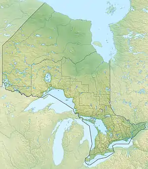 Upper Magpie Lake Location in Ontario | |
| Location | Algoma District, Ontario[1] |
| Coordinates | 48°37′51″N 84°37′31″W[2] |
| Primary outflows | Magpie River[1] |
| Basin countries | Canada[2][3] |
| Max. length | 1.6 km (0.99 mi) |
| Max. width | 0.6 km (0.37 mi) |
| Surface elevation | 420 m (1,380 ft)[4] |
See also
References
- "Ontario Geographic Names Map Viewer". Ontario Ministry of Natural Resources and Forestry. Retrieved 2023-09-09.
- "Upper Magpie Lake". Geographical Names Data Base. Natural Resources Canada. Retrieved 2023-09-09.
- "Toporama". Atlas of Canada. Natural Resources Canada. Retrieved 2010-02-09.
- "Google Earth". Retrieved 2023-09-09.
- "Doucett" (PDF). Ontario Ministry of Natural Resources and Forestry. Retrieved 2023-09-09.
This article is issued from Wikipedia. The text is licensed under Creative Commons - Attribution - Sharealike. Additional terms may apply for the media files.