Vang i Valdres
Vang i Valdres or Grindaheim is the administrative centre of Vang Municipality in Innlandet county, Norway. The village is located on the south shore of the lake Vangsmjøse, about 20 kilometres (12 mi) west of the village of Ryfoss and about 10 kilometres (6.2 mi) southeast of the village of Øye. The European route E16 highway runs through the village, heading west through the Filefjell mountains on the way to the west coast of Norway. The historic Vang Church is located in the village.
Vang i Valdres
Vang / Grindaheim | |
|---|---|
Village | |
 View from the village looking north, across the lake Vangsmjøse | |
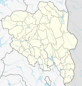
 Vang i Valdres Location of the village  Vang i Valdres Vang i Valdres (Norway) | |
| Coordinates: 61.12508°N 8.57076°E | |
| Country | Norway |
| Region | Eastern Norway |
| County | Innlandet |
| District | Valdres |
| Municipality | Vang Municipality |
| Elevation | 479 m (1,572 ft) |
| Time zone | UTC+01:00 (CET) |
| • Summer (DST) | UTC+02:00 (CEST) |
| Post Code | 2975 Vang i Valdres |
This article is issued from Wikipedia. The text is licensed under Creative Commons - Attribution - Sharealike. Additional terms may apply for the media files.