Vegglifjell
Vegglifjell is a mountain range located along the border of Buskerud and Telemark counties in southern Norway. It runs through the municipalities of Tinn, Rollag, and Nore og Uvdal. The highest point is the 1,380-metre (4,530 ft) tall Skirveggen mountain. The mountain range is surrounded by the Numedalen valley to the east side, the Uvdalen valley to the north, and the Tessungdalen valley on the west side.

| Vegglifjell | |
|---|---|
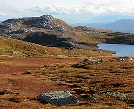 View of the Vegglifjell area | |
| Highest point | |
| Peak | Skirveggen, Tinn, Telemark |
| Elevation | 1,380 m (4,530 ft)[1] |
| Prominence | 178 m (584 ft)[1] |
| Isolation | 30 metres (98 ft)[1] |
| Coordinates | 60.10807°N 8.9245°E |
| Geography | |
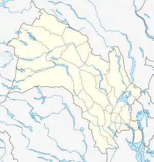 Location of the mountain  Vegglifjell (Telemark) 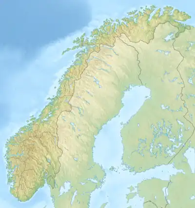 Vegglifjell (Norway) | |
| Location | Eastern Norway |
| Range coordinates | 60.02581°N 9.03434°E[2] |
References
- "Skirveggen". PeakVisor.com. Retrieved 21 August 2023.
- "Vegglifjell, Rollag" (in Norwegian). yr.no. Retrieved 21 August 2023.
This article is issued from Wikipedia. The text is licensed under Creative Commons - Attribution - Sharealike. Additional terms may apply for the media files.