Wallis Heights, Nova Scotia
Wallis Heights is a Canadian urban neighbourhood in Nova Scotia's Halifax Regional Municipality.
Wallis Heights | |
|---|---|
Subdivision | |
 | |
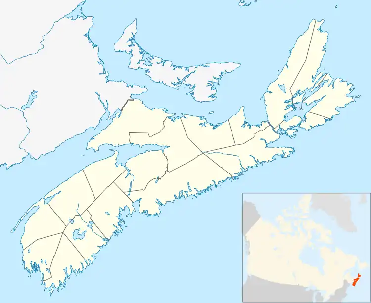
 Location within Nova Scotia | |
| Coordinates: 44°41′11″N 63°36′22″W | |
| Country | |
| Province | |
| Municipality | Halifax Regional Municipality |
| Community | Dartmouth |
| Community council | Harbour East - Marine Drive Community Council |
| District | 6 - Harbourview - Burnside - Dartmouth East |
| Postal code | B3A |
| Area code | 902 |
| GNBC code | CBNJH |
Wallis Heights is situated immediately north of Shannon Hill at the Northeastern end of the Bedford Basin, around the northern side of the A. Murray MacKay Bridge,[1] also known as 'the new bridge', in the former city of Dartmouth. It was established by the Department of National Defence in the 1950s to house Royal Canadian Navy personnel attached to the Halifax naval base. The community is named after Provo Wallis.
Defence cutbacks to the Canadian Forces budget in the mid-1990s coupled with rising real estate maintenance costs saw Wallis Heights sold to a private developer. Some units have been renovated and the entire neighbourhood has been resettled by civilians.
Transportation
Wallis Heights is served by a public bus route, Halifax Transit route 51. It runs seven days a week, linking Wallis Heights to the Bridge Terminal via Windmill Road.[2]
References
- "A. Mackay Bridge History". Halifax-Dartmouth Bridge Commission. Retrieved 9 September 2020.
- "Routes & Schedules". Halifax Transit. Retrieved 19 December 2019.