West Halton
West Halton is a village and civil parish in North Lincolnshire, England. It is situated 2.5 miles (4 km) north-west from Winterton,[1] approximately 7 miles (11 km) north from Scunthorpe, and 2 miles (3 km) south from the Humber Estuary. The parish contains part of Coleby, a hamlet south of the village.
| West Halton | |
|---|---|
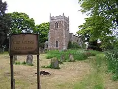
 The parish church of St Etheldreda, West Halton | |
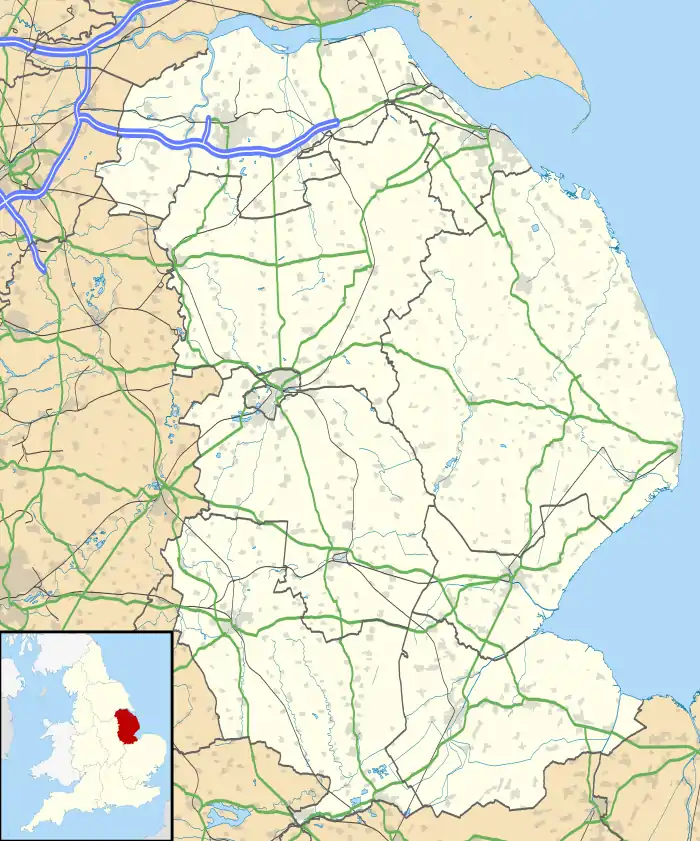
 West Halton Location within Lincolnshire | |
| Population | 340 (2011 Census) |
| OS grid reference | SE905210 |
| • London | 155 mi (249 km) S |
| Civil parish |
|
| Unitary authority | |
| Ceremonial county | |
| Region | |
| Country | England |
| Sovereign state | United Kingdom |
| Post town | SCUNTHORPE |
| Postcode district | DN15 |
| Dialling code | 01724 |
| Police | Humberside |
| Fire | Humberside |
| Ambulance | East Midlands |
In the 2001 Census the parish had a population of 331,[2] increasing slightly to 340 at the 2011 census.[3]
The settlement at West Halton has existed since at least the Anglo Saxon period when it was traditionally thought to have been founded as a monastery or minster by St Æthelthryth. Excavations by the University of Sheffield confirmed the presence of a 7th-century settlement.[4] West Halton is listed in the 1086 Domesday Book as "Haltone". The name has been translated as "farmstead in a nook or corner of land".[5]
West Halton has a central village green.[6] There is a public house, the Butchers Arms, and a village hall which has served as a part-time post office since the village post office closed.[7] There are no shops in the village. The church is dedicated to St Etheldreda; it was built in 1695 as a replacement for an earlier building destroyed by fire in 1692.[5]
A public transport bus service is provided by Hornsby Travel, subsidised by North Lincolnshire Council. The now closed West Halton railway station was situated near the village. It was built in 1906 by the North Lindsey Light Railway.
.jpg.webp)
References
- "West Halton Lincolnshire through time: Local history overview for the place". A Vision of Britain through Time. University of Portsmouth & others. Retrieved 1 February 2009.
- "2001 Census: Key Statistics: Parish Headcounts: Area: West Halton CP (Parish)". Neighbourhood Statistics. Office for National Statistics. Retrieved 1 February 2009.
- "Civil parish population 2011". Neighbourhood Statistics. Office for National Statistics. Retrieved 26 April 2016.
- Bronze Age bowl barrow, Anglo-Saxon settlement and medieval manorial settlement. "Heritage Gateway". Retrieved 16 October 2020.
- "West Halton Local History Pack". North Lincolnshire Council. Retrieved 1 March 2015.
- "Map of West Halton" (PDF). North Lincolnshire Council. Retrieved 1 February 2009.
- "Network Change Programme: Area Plan Proposal for East Yorkshire with Bassetlaw and North Lincolnshire" (PDF). Post Office Ltd. Retrieved 1 February 2009.
External links
 Media related to West Halton at Wikimedia Commons
- West Halton in the Domesday Book