Wyatt Island
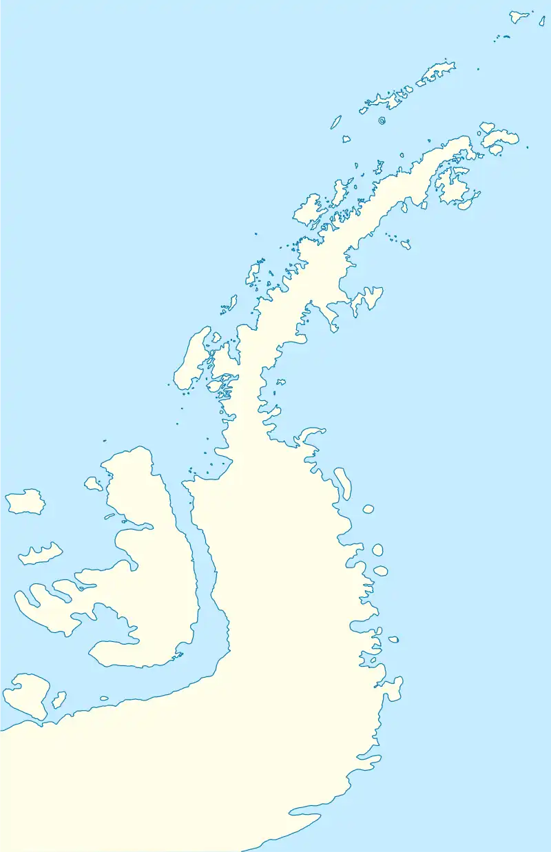
Wyatt Island (67°20′S 67°40′W) is an island, 5 nautical miles (9 km) long and 2 nautical miles (3.7 km) wide, lying 2 nautical miles (3.7 km) south of Day Island near the center of Laubeuf Fjord, off the west coast of Graham Land. First surveyed in 1936 by the British Graham Land Expedition (BGLE) under Rymill which used the
 Wyatt Island | |
| Geography | |
|---|---|
| Location | Graham Land, Antarctica |
| Adjacent to | Southern Ocean |
| Area | 21.3 km2 (8.2 sq mi) |
| Coastline | 23 km (14.3 mi) |
| Demographics | |
| Population | 0 |
provisional name South Island for this feature. The island was resurveyed in 1948 by the Falkland Islands Dependencies Survey (FIDS) and was renamed by Vice Admiral Sir Arthur G.N. Wyatt, Hydrographer to the Navy, 1945–50.
References
![]() This article incorporates public domain material from "Wyatt Island". Geographic Names Information System. United States Geological Survey.
This article incorporates public domain material from "Wyatt Island". Geographic Names Information System. United States Geological Survey.
This article is issued from Wikipedia. The text is licensed under Creative Commons - Attribution - Sharealike. Additional terms may apply for the media files.