Yères
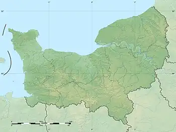
The Yères (French pronunciation: [jɛʁ]) is a river of Normandy, France, 40 kilometres (25 mi) in length, flowing through the department of Seine-Maritime.[1]
| Yères | |
|---|---|
_1.jpg.webp) | |
  | |
| Native name | L'Yères (French) |
| Location | |
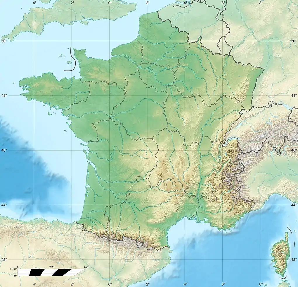
| Country | France |
| Physical characteristics | |
| Source | |
| • location | Aubermesnil-aux-Érables |
| • elevation | 220 m (720 ft) |
| Mouth | |
• location | English Channel |
• coordinates | 50.0333°N 1.3101°E |
| Length | 40 km (25 mi) |
| Basin size | 327 km2 (126 sq mi) |
| Discharge | |
| • average | 2.7 m (8 ft 10 in) |
Geography
The river's source is in the forest of Eu, just south of the village of Aubermesnil-aux-Érables. Its course takes a northerly route past Foucarmont and Fallencourt. It then turns northwestward and passes through the communes of Grandcourt, Villy-sur-Yères, Sept-Meules, Cuverville-sur-Yères, Saint-Martin-le-Gaillard, Touffreville-sur-Eu and finally through Criel-sur-Mer to the sea.
Like most other rivers in the region, the Yères is classified as a first class river, offering anglers the chance to catch trout and lampreys, but not salmon.[2]
See also
References
- Sandre. "Fiche cours d'eau - L'Yeres (G11-0400)".
- "The Yères on the Natura 2000 website". Archived from the original on September 27, 2008. Retrieved October 15, 2008.
This article is issued from Wikipedia. The text is licensed under Creative Commons - Attribution - Sharealike. Additional terms may apply for the media files.