Yazoo County Airport
Yazoo County Airport (FAA LID: 87I) is five miles northwest of Yazoo City in unincorporated Yazoo County, Mississippi.[1] It is owned by the County of Yazoo.[1][2]
Yazoo County Airport | |||||||||||
|---|---|---|---|---|---|---|---|---|---|---|---|
| Summary | |||||||||||
| Airport type | Public | ||||||||||
| Owner | County of Yazoo | ||||||||||
| Serves | Yazoo City, Mississippi | ||||||||||
| Location | Yazoo County, Mississippi | ||||||||||
| Built | November 1989 | ||||||||||
| Elevation AMSL | 105 ft / 32 m | ||||||||||
| Coordinates | 32°53′01″N 090°27′50″W | ||||||||||
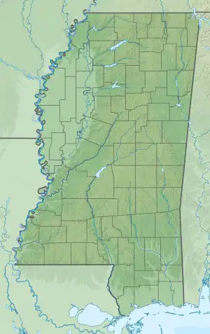
| Map | |||||||||||
 87I Location in Mississippi | |||||||||||
| Runways | |||||||||||
| |||||||||||
| Statistics (2022) | |||||||||||
| |||||||||||
The National Plan of Integrated Airport Systems for 2011–2015 called it a general aviation facility.[3] In 2010 the airport got a $76,931 Federal Aviation Administration Airport Improvement Program grant for apron lighting.[2]
The airport has a 5,000 feet (1,500 m) lighted runway that was built in 1993 and upgraded in 2000. As of 2001 the airport houses two agricultural businesses and a repair service. Lynne W. Jeter of the Mississippi Business Journal said in 2001 that the county airport "may have played an important role in landing the multi-phase federal prison project that is currently under expansion," referring to the Federal Bureau of Prisons Federal Correctional Complex, Yazoo City.
Facilities
Yazoo County Airport covers 300 acres (121 ha) at an elevation of 105 feet (32 m). Its one runway, 17/35, is 5,001 by 100 feet (1,524 x 30 m) asphalt.[1]
In the year ending March 24, 2022 the airport had 8,625 aircraft operations, average 24 per day: 98% general aviation and 1% military. At that time there were 11 aircraft based at this airport: 8 single-engine, 1 multi-engine, and 2 helicopter.[1]
References
- FAA Airport Form 5010 for 87I PDF. Federal Aviation Administration. Effective August 10, 2023.
- "Poplarville, Hattiesburg among airports receiving grants." WDAM. March 12, 2010. Retrieved on September 23, 2010.
- "2011–2015 NPIAS Report, Appendix A" (PDF, 2.03 MB). National Plan of Integrated Airport Systems. Federal Aviation Administration. October 4, 2010.
External links
- Aerial image as of February 1996 from USGS The National Map
- FAA Terminal Procedures for 87I, effective October 5, 2023
- Resources for this airport:
- FAA airport information for 87I
- AirNav airport information for 87I
- FlightAware airport information and live flight tracker
- SkyVector aeronautical chart for 87I