Yegyi Township
Yegyi Township (Burmese: ရေကြည်မြို့နယ်) is a township of Kyonpyaw District in the Ayeyarwady Region of Myanmar.[2]
Yekyi Township
ရေကြည်မြို့နယ် | |
|---|---|
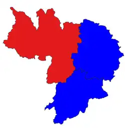 Location in Kyonpyaw district | |
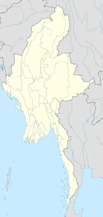 Yekyi Township Location in Myanmar | |
| Coordinates: 17.344564°N 95.120672°E | |
| Country | |
| Region | Ayeyawady Region |
| District | Kyonpyaw District |
| Capital | Yekyi |
| Area | |
| • Township | 494.94 sq mi (1,281.89 km2) |
| • Urban | 1.25 sq mi (3.23 km2) |
| Highest elevation | 2,546 ft (776 m) |
| Lowest elevation | 23 ft (7 m) |
| Population (2014) | 202,210 [1] |
| Time zone | UTC+6:30 (MST) |
Ngathinechaung Sub-Township consists of the northwestern portions of the township.
Localities
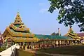
Gallery


See also
Capital: Pathein | ||
| Hinthada District | 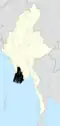 | |
| Kyonpyaw District |
| |
| Labutta District |
| |
| Ma-ubin District | ||
| Myaungmya District | ||
| Myanaung District | ||
| Pathein District | ||
| Pyapon District | ||
| Main cities and towns |
| |
References
- Myanmar Information Management Unit (September 2019). Yegyi Myone Daethasaingyarachatlatmya ရေကြည်မြို့နယ် ဒေသဆိုင်ရာအချက်လက်များ [Yegyi Township Regional Information] (PDF) (Report). MIMU. Retrieved November 14, 2022.
- "The 2014 Myanmar Population and Housing Census: Yegyi Township Report - Yegyi Township Report - OD Mekong Datahub". data.opendevelopmentmekong.net. Retrieved 2020-03-01.
This article is issued from Wikipedia. The text is licensed under Creative Commons - Attribution - Sharealike. Additional terms may apply for the media files.