Zabergan Peak
Zabergan Peak (Bulgarian: връх Заберган, romanized: vrah Zabergan, IPA: [ˈvrɤɣ zɐbɛrˈɡan]) is the rocky peak rising to 1039 m[1] on Foyn Coast, Antarctic Peninsula, and surmounting Beaglehole Glacier to the northeast and Friederichsen Glacier to the southwest.
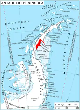
Location of Foyn Coast on Antarctic Peninsula.
The feature is named after the Bulgar ruler Zabergan (6th century).
Location
Zabergan Peak is located at 66°37′00″S 64°06′29″W, which is 7.06 km south of Chuypetlovo Knoll, 9.3 km west of Takev Point and 2.2 km northwest of Varad Point. British mapping in 1976.
Maps
- British Antarctic Territory. Scale 1:200000 topographic map. DOS 610 Series, Sheet W 66 64. Directorate of Overseas Surveys, Tolworth, UK, 1976.
- Antarctic Digital Database (ADD). Scale 1:250000 topographic map of Antarctica. Scientific Committee on Antarctic Research (SCAR). Since 1993, regularly upgraded and updated.
Notes
- Reference Elevation Model of Antarctica. Polar Geospatial Center. University of Minnesota, 2019
References
- Zabergan Peak. SCAR Composite Antarctic Gazetteer.
- Bulgarian Antarctic Gazetteer. Antarctic Place-names Commission. (details in Bulgarian, basic data in English)
External links
- Zabergan Peak. Copernix satellite image
This article includes information from the Antarctic Place-names Commission of Bulgaria which is used with permission.
This article is issued from Wikipedia. The text is licensed under Creative Commons - Attribution - Sharealike. Additional terms may apply for the media files.