District d'Oberwart
Oberwart est un Bezirk (district) du Land autrichien de Burgenland.
Pour la commune, voir Oberwart.
| Oberwart | |
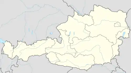
 Localisation du district d'Oberwart dans le Land autrichien de Burgenland. | |
| Administration | |
|---|---|
| Pays | |
| Land | |
| Centre administratif | Oberwart |
| Immatriculation | OW |
| Démographie | |
| Population | 53 955 hab. ([1]) |
| Densité | 74 hab./km2 |
| Géographie | |
| Coordonnées | 47° 17′ 38″ nord, 16° 14′ 35″ est |
| Superficie | 73 262 ha = 732,62 km2 |
| Localisation | |

Le district de Oberwart est constitué des municipalités suivantes :
- Bad Tatzmannsdorf
- Badersdorf
- Bernstein
- Deutsch Schützen-Eisenberg
- Grafenschachen
- Großpetersdorf
- Hannersdorf
- Jabing
- Kemeten
- Kohfidisch
- Litzelsdorf
- Loipersdorf-Kitzladen
- Mariasdorf
- Markt Allhau
- Markt Neuhodis
- Mischendorf
- Neustift an der Lafnitz
- Oberdorf im Burgenland
- Oberschützen
- Oberwart
- Pinkafeld
- Rechnitz
- Riedlingsdorf
- Rotenturm an der Pinka
- Schachendorf
- Schandorf
- Stadtschlaining
- Unterkohlstätten
- Unterwart
- Weiden bei Rechnitz
- Wiesfleck
- Wolfau
Carte interactive des communes du district d'Oberwart
Notes et références
 Portail de l'Autriche
Cet article est issu de Wikipedia. Le texte est sous licence Creative Commons - Attribution - Partage dans les Mêmes. Des conditions supplémentaires peuvent s'appliquer aux fichiers multimédias.