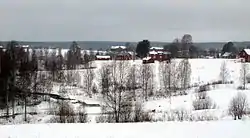
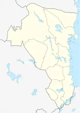
Åmot, Sweden
Åmot is a locality situated in Ockelbo Municipality, Gävleborg County, Sweden with 277 inhabitants in 2010.[1]
Åmot | |
|---|---|
 | |
 Åmot 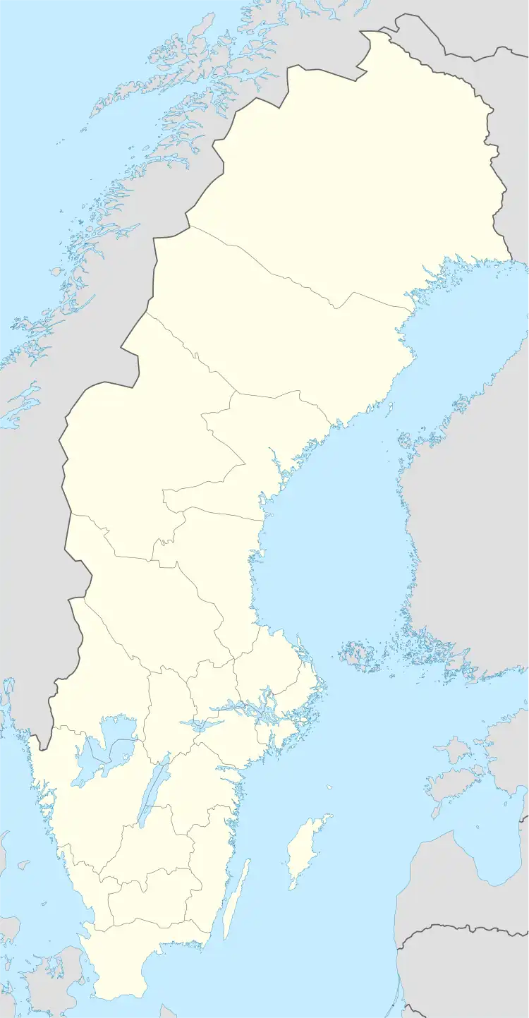 Åmot | |
| Coordinates: 60°58′N 16°27′E | |
| Country | Sweden |
| Province | Gästrikland |
| County | Gävleborg County |
| Municipality | Ockelbo Municipality |
| Area | |
| • Total | 1.44 km2 (0.56 sq mi) |
| Population (31 December 2010)[1] | |
| • Total | 277 |
| • Density | 192/km2 (500/sq mi) |
| Time zone | UTC+1 (CET) |
| • Summer (DST) | UTC+2 (CEST) |
Climate
Åmot has a climate in the boundary zone between continental and subarctic.
| Climate data for Åmot 2002–2021 (extremes since 1951) | |||||||||||||
|---|---|---|---|---|---|---|---|---|---|---|---|---|---|
| Month | Jan | Feb | Mar | Apr | May | Jun | Jul | Aug | Sep | Oct | Nov | Dec | Year |
| Record high °C (°F) | 9.4 (48.9) |
12.3 (54.1) |
17.7 (63.9) |
25.6 (78.1) |
29.4 (84.9) |
31.0 (87.8) |
32.3 (90.1) |
32.6 (90.7) |
27.0 (80.6) |
21.0 (69.8) |
15.5 (59.9) |
11.8 (53.2) |
32.6 (90.7) |
| Mean maximum °C (°F) | 5.3 (41.5) |
6.8 (44.2) |
12.4 (54.3) |
17.8 (64.0) |
23.3 (73.9) |
26.7 (80.1) |
28.1 (82.6) |
26.6 (79.9) |
21.3 (70.3) |
14.9 (58.8) |
10.3 (50.5) |
6.4 (43.5) |
29.4 (84.9) |
| Average high °C (°F) | −1.6 (29.1) |
−0.2 (31.6) |
3.9 (39.0) |
9.9 (49.8) |
15.2 (59.4) |
19.5 (67.1) |
21.9 (71.4) |
20.1 (68.2) |
15.4 (59.7) |
8.6 (47.5) |
3.3 (37.9) |
0.0 (32.0) |
9.7 (49.4) |
| Daily mean °C (°F) | −5.4 (22.3) |
−4.4 (24.1) |
−1.2 (29.8) |
3.8 (38.8) |
8.8 (47.8) |
12.2 (54.0) |
15.7 (60.3) |
14.3 (57.7) |
10.1 (50.2) |
4.4 (39.9) |
0.1 (32.2) |
−3.5 (25.7) |
4.6 (40.2) |
| Average low °C (°F) | −9.2 (15.4) |
−8.6 (16.5) |
−6.3 (20.7) |
−2.3 (27.9) |
2.4 (36.3) |
6.9 (44.4) |
9.4 (48.9) |
8.4 (47.1) |
4.7 (40.5) |
0.2 (32.4) |
−3.1 (26.4) |
−7.0 (19.4) |
−0.4 (31.3) |
| Mean minimum °C (°F) | −22.2 (−8.0) |
−22.0 (−7.6) |
−17.9 (−0.2) |
−9.2 (15.4) |
−4.7 (23.5) |
−0.1 (31.8) |
3.1 (37.6) |
0.6 (33.1) |
−3.0 (26.6) |
−8.8 (16.2) |
−13.5 (7.7) |
−18.5 (−1.3) |
−25.5 (−13.9) |
| Record low °C (°F) | −32.5 (−26.5) |
−35.5 (−31.9) |
−31.3 (−24.3) |
−23.6 (−10.5) |
−12.7 (9.1) |
−3.4 (25.9) |
0.1 (32.2) |
−2.5 (27.5) |
−7.8 (18.0) |
−17.6 (0.3) |
−25.6 (−14.1) |
−31.8 (−25.2) |
−35.5 (−31.9) |
| Average precipitation mm (inches) | 42.1 (1.66) |
27.6 (1.09) |
24.4 (0.96) |
24.3 (0.96) |
45.1 (1.78) |
63.0 (2.48) |
74.0 (2.91) |
89.4 (3.52) |
42.1 (1.66) |
62.3 (2.45) |
45.8 (1.80) |
42.8 (1.69) |
582.9 (22.96) |
| Source 1: SMHI Open Data for Åmot A, temperature[2] | |||||||||||||
| Source 2: SMHI Open Data for Åmot A, precipitation[3] | |||||||||||||
References
- "Tätorternas landareal, folkmängd och invånare per km2 2005 och 2010" (in Swedish). Statistics Sweden. 14 December 2011. Archived from the original on 27 January 2012. Retrieved 10 January 2012.
- "Open Data for Åmot A" (in Swedish). Swedish Meteorological and Hydrological Institute. Retrieved 3 June 2022.
- "Open Data for Åmot A" (in Swedish). Swedish Meteorological and Hydrological Institute. Retrieved 3 June 2022.
This article is issued from Wikipedia. The text is licensed under Creative Commons - Attribution - Sharealike. Additional terms may apply for the media files.