Đala
Đala (Serbian Cyrillic: Ђала) is a village in Serbia. It is situated in the Novi Kneževac municipality, in the North Banat District, Vojvodina province. The village has a Serb ethnic majority (80.07%) with a present Hungarian (9.86%) and Roma minority (5.57%). It has a population of 1,004 people (2002 census). At the northern exit of the village is daytime border (7 AM - 7 PM) crossing with Hungary, Đala-Tiszasziget, which can be used only by citizens of Serbia, Hungary and other EU citizens, as well as citizens of Switzerland.
Đala
| |
|---|---|
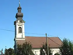 The Orthodox Church | |
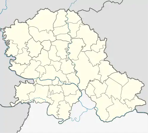 Đala Location of Đala within Serbia  Đala Đala (Serbia) 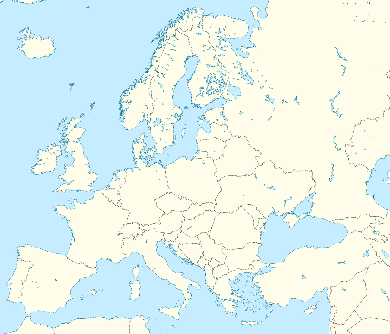 Đala Đala (Europe) | |
| Coordinates: 46°09′00″N 20°06′00″E | |
| Country | Serbia |
| Province | Vojvodina |
| District | North Banat |
| Elevation | 76 m (249 ft) |
| Population (2002) | |
| • Đala | 1,004 |
| Time zone | UTC+1 (CET) |
| • Summer (DST) | UTC+2 (CEST) |
| Postal code | 23335 |
| Area code | +381(0)230 |
| Car plates | KI |
History
Bronze Age graves of south Russian steppe nomads were found in the village.
Population
- 1961: 1,723
- 1971: 1,578
- 1981: 1,325
- 1991: 1,072
References
- Slobodan Ćurčić, Broj stanovnika Vojvodine, Novi Sad, 1996.
Wikimedia Commons has media related to Đala.
This article is issued from Wikipedia. The text is licensed under Creative Commons - Attribution - Sharealike. Additional terms may apply for the media files.