Lanchyn
Lanchyn
Ланчин Łanczyn | |
|---|---|
 Flag  Coat of arms | |
 Lanchyn 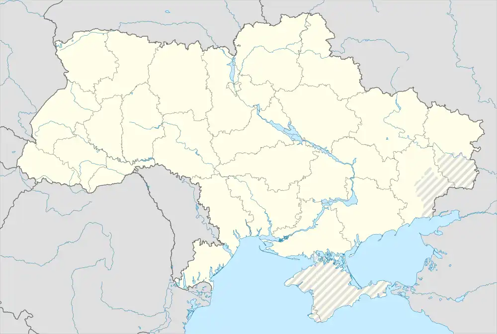 Lanchyn | |
| Coordinates: 48°32′51″N 24°45′6″E | |
| Country | |
| Oblast | |
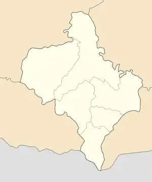
| Raion | Nadvirna Raion |
| Government | |
| • Head of Village Council | Mykhaylo Mykhaylovych Ivanyuk |
| Area | |
| • Total | 27.89 km2 (10.77 sq mi) |
| Population (2022) | |
| • Total | 7,846 |
| • Density | 280/km2 (730/sq mi) |
| Area code | (+380) 3475 |
Lanchyn (Ukrainian: Ланчин; Polish: Łanczyn; Hebrew: לאנצ'ין; Romanian: Lanciîn) is an urban-type settlement in Nadvirna Raion, Ivano-Frankivsk Oblast, Ukraine. It hosts the administration of Lanchyn settlement hromada, one of the hromadas of Ukraine.[1] Its population was 7,846 (2022 estimate).[2]
Location
Lanchyn is located on the Prut about 42 kilometers south of Ivano-Frankivsk and 16 kilometers southeast of Nadvirna.
History
Between 1772 and 1918 it was part of Austrian Galicia. After the end of World War I Lanchyn (as Łanczyn) became part of Nadvirna Powiat in Stanisławów Voivodeship, part of Poland. In 1939 it was annexed by the Soviet Union. In 1940 it became an urban-type settlement.
Lanchyn was occupied by German troops during World War II from 1941 to 1944, part of the District of Galicia.
Postwar, Lanchyn was briefly the center of the raion.
Notable people
- Zbigniew Horbowy (1935–2019), Polish glass artist
- Mykhajlo Levitsky (1774–1858), Metropolitan of Lviv
References
- "Ланчинская громада" (in Russian). Портал об'єднаних громад України.
- Чисельність наявного населення України на 1 січня 2022 [Number of Present Population of Ukraine, as of January 1, 2022] (PDF) (in Ukrainian and English). Kyiv: State Statistics Service of Ukraine. Archived (PDF) from the original on 4 July 2022.
| Cities | Coat of arms of Nadvirna Raion | |
|---|---|---|
| Urban-type settlements | ||
| Villages |
| |