1819 Copiapó earthquake
During April 1819, the area around Copiapó in northern Chile was struck by a sequence of earthquakes over a period of several days. The largest of these earthquakes occurred on 11 April at about 15:00 local time, with an estimated magnitude of Mw 8.5. The other two events, on 3 April between 08:00 and 09:00 local time and on 4 April at 16:00 local time, are interpreted as foreshocks to the mainshock on 11 April. The mainshock triggered a tsunami that affected 800 km of coastline and was also recorded at Hawaii. The city of Copiapó was devastated.[1]
 Huasco Concepción Copiapó | |
| Local date | 11 April 1819 |
|---|---|
| Local time | 15:00 |
| Magnitude | 8.5 Mw |
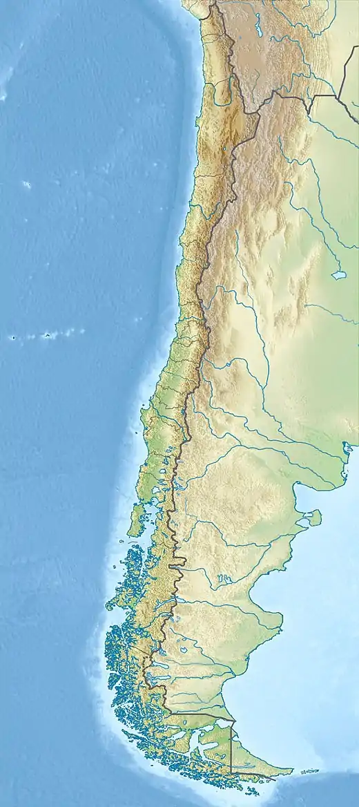
| Epicenter | 27.0°S 71.5°W |
| Areas affected | Copiapó Province, Chile |
| Tsunami | Yes |
| Casualties | Unknown |
Tectonic setting
Northern Chile lies above the destructive plate boundary where the Nazca Plate is being subducted beneath the South American Plate along the line of Peru–Chile Trench at about 8 cm per year.[2] This part of the boundary is associated with many large megathrust earthquakes, including those in 1420 and 1922.[3]
Earthquake sequence
The magnitudes of the two foreshocks is not known. The magnitude of the mainshock has been estimated to be Mw 8.5.[3] The earthquake sequence is though to have ruptured the same part of the plate boundary as that ruptured by the 1922 Vallenar earthquake.[4]
Tsunami
The tsunami triggered by the 11 April mainshock affected at least 800 km of the Chilean coastline, with a maximum run-up height of 4 m and a maximum inundation of 600 m. Places affected included Huasco, Caldera, and Concepción. Caldera suffered significant damage and at Concepción the schooner La Fortuna broke free from its moorings. The tsunami was also recorded in the Hawaiian Islands at Honolulu, Hilo, Kahului and Molokai. It may also have been observed at Mangareva in French Polynesia.[5]
Impact
The earthquake sequence caused major damage in both Copiapó and Vallenar.[4] The 3 April foreshock led to widespread damage in Copiapó. The 4 April foreshock caused the collapse of several buildings in the city including a church, killing "many people".[6] The effects of the mainshock on 11 April and its associated tsunami, combined with those of the foreshocks was the complete destruction of Copiapó and Caldera.
References
- National Geophysical Data Center / World Data Service (NGDC/WDS): NCEI/WDS Global Significant Earthquake Database. NOAA National Centers for Environmental Information. "Significant Earthquake Information". doi:10.7289/V5TD9V7K.
- Delouis, B.; Pardo M., Legrand D. & Monfret T. (2009). "The Mw 7.7 Tocopilla Earthquake of 14 November 2007 at the Southern Edge of the Northern Chile Seismic Gap: Rupture in the Deep Part of the Coupled Plate Interface" (PDF). Bulletin of the Seismological Society of America. 99 (1): 87–94. Bibcode:2009BuSSA..99...87D. doi:10.1785/0120080192. Archived from the original (PDF) on 24 July 2011.
- Serrano, M.F.; Muñoz, S.R.; Medina, M.; Mocanu, M.; Fernandez, R.F. (2019). "Tsunami Hazard Evaluation in the Coquimbo Region Using Nonuniform Slip Distribution Sources" (PDF). Seismological Research Letters. doi:10.1785/0220180395.
- Beck, S.; Barrientos, S.; Kausel, E.; Reyes, M. (1998). "Source characteristics of historic earthquakes along the central Chile subduction zone". Journal of South American Earth Sciences. 11 (2): 115–129. doi:10.1016/S0895-9811(98)00005-4.
- National Geophysical Data Center / World Data Service (NGDC/WDS): NCEI/WDS Global Significant Earthquake Database. NOAA National Centers for Environmental Information. "Tsunami Event Information". doi:10.7289/V5TD9V7K.
- National Geophysical Data Center / World Data Service (NGDC/WDS): NCEI/WDS Global Significant Earthquake Database. NOAA National Centers for Environmental Information. "Significant Earthquake Information (4/4/1819)". doi:10.7289/V5TD9V7K.