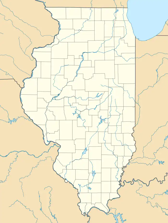
Adams, Illinois
Adams is a census-designated place in Burton Township, Adams County, Illinois, United States. Adams is about 13 miles (21 km) southeast of Quincy.
Adams, Illinois | |
|---|---|
 Adams, Illinois  Adams, Illinois | |
| Coordinates: 39°51′54″N 91°11′53″W | |
| Country | United States |
| State | Illinois |
| County | Adams |
| Area | |
| • Total | 2.24 sq mi (5.79 km2) |
| • Land | 2.24 sq mi (5.79 km2) |
| • Water | 0.00 sq mi (0.00 km2) |
| Elevation | 725 ft (221 m) |
| Population (2020) | |
| • Total | 75 |
| • Density | 33.53/sq mi (12.94/km2) |
| Time zone | UTC-6 (Central (CST)) |
| • Summer (DST) | UTC-5 (CDT) |
| Area code | 217 |
| FIPS code | 17-00191 |
| GNIS feature ID | 2804080[2] |
Adams was laid out in 1838.[3]
Geography
Adams is located at 39°52′15″N 91°11′59″W. According to the 2021 census gazetteer files, Adams has a total area of 2.24 square miles (5.80 km2), all land.[4]
Demographics
| Census | Pop. | Note | %± |
|---|---|---|---|
| 2020 | 75 | — | |
| U.S. Decennial Census[5] | |||
As of the 2020 census[6] there were 75 people, 28 households, and 16 families residing in the CDP. The population density was 33.53 inhabitants per square mile (12.95/km2). There were 35 housing units at an average density of 15.65 per square mile (6.04/km2). The racial makeup of the CDP was 93.33% White, 1.33% African American, 0.00% Native American, 0.00% Asian, 0.00% Pacific Islander, 0.00% from other races, and 5.33% from two or more races. Hispanic or Latino of any race were 1.33% of the population.
References
- "2020 U.S. Gazetteer Files". United States Census Bureau. Retrieved March 15, 2022.
- U.S. Geological Survey Geographic Names Information System: Adams, Illinois
- Callary, Edward (September 29, 2008). Place Names of Illinois. University of Illinois Press. p. 1. ISBN 978-0-252-09070-7.
- Bureau, US Census. "Gazetteer Files". Census.gov. Retrieved June 29, 2022.
- "Census of Population and Housing". Census.gov. Retrieved June 4, 2016.
- "Explore Census Data". data.census.gov. Retrieved June 28, 2022.