Afuera Islands
Afuera Islands, also known as Penguin Island or Dodge Rocks, are a group of three small islands lying north of Challenger Island and just outside the south entrance point to Hughes Bay, off the west coast of Graham Land. First charted by the French Antarctic Expedition, 1908–10, under Jean-Baptiste Charcot. The name, which appears on an Argentine government chart of 1957, is probably descriptive of the islands' location; "Afuera" means outer or outside.
 Afuera Islands Location in Antarctica 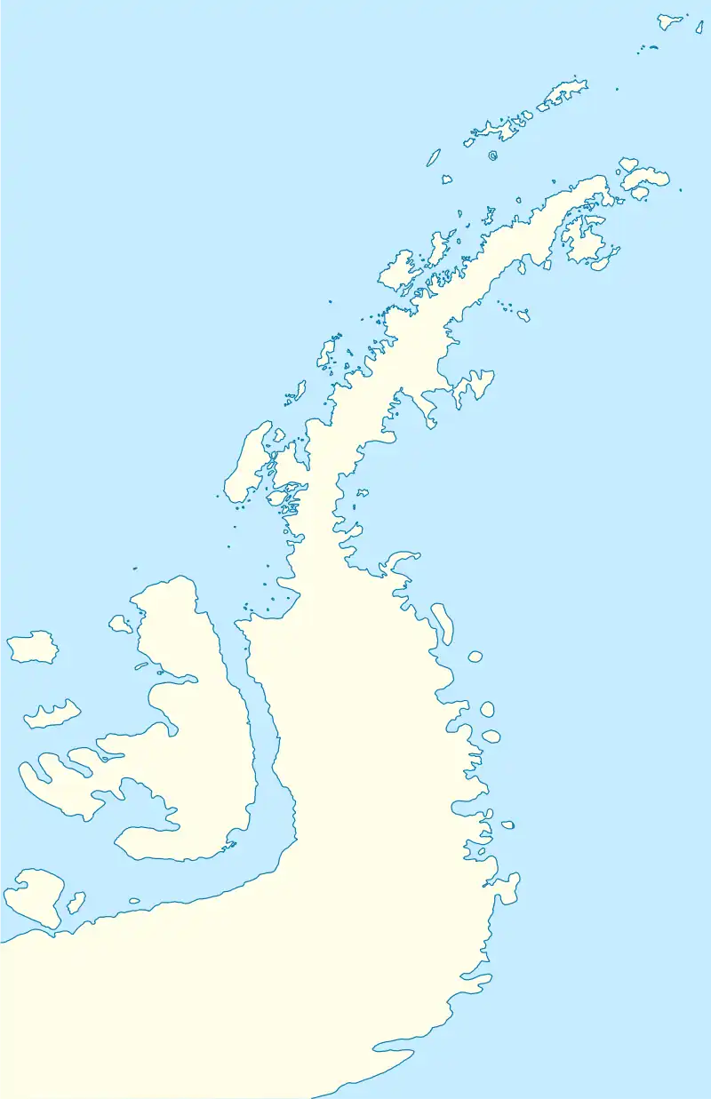 Afuera Islands Afuera Islands (Antarctic Peninsula) | |
| Geography | |
|---|---|
| Location | Antarctica |
| Coordinates | 64°20′S 61°36′W |
| Administration | |
| Administered under the Antarctic Treaty System | |
| Demographics | |
| Population | Uninhabited |
See also
![]() This article incorporates public domain material from "Afuera Islands". Geographic Names Information System. United States Geological Survey.
This article incorporates public domain material from "Afuera Islands". Geographic Names Information System. United States Geological Survey.
This article is issued from Wikipedia. The text is licensed under Creative Commons - Attribution - Sharealike. Additional terms may apply for the media files.