Agastihal
Agastihal is a small village in the southern state of Karnataka, India.[1][2][3] Administratively Agastihal is under Tewar Wadgera panchayat village, Shahapur taluka of Yadgir district in Karnataka.[2] Agastihal is 2.7 km by road southwest of Gundgurthi, and 7 km by road northeast of Hattigudur.
Agastihal | |
|---|---|
village | |
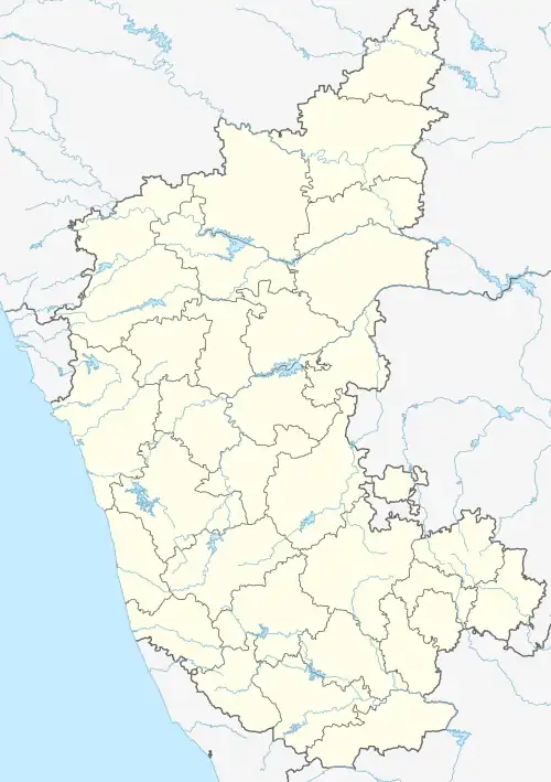
 Agastihal Location in Karnataka, India  Agastihal Agastihal (India) | |
| Coordinates: 16°38′50″N 076°55′40″E | |
| Country | |
| State | Karnataka |
| District | Yadgir |
| Talukas | Shahapur |
| Government | |
| • Type | Panchayat raj |
| • Body | Village Panchayat |
| Population (2001) | |
| • Total | 163 |
| Languages | |
| • Official | Kannada |
| Time zone | UTC+5:30 (IST) |
| ISO 3166 code | IN-KA |
| Vehicle registration | KA |
| Civic agency | Village Panchayat |
| Website | karnataka |
Demographics
At the 2001 census, Agastihal had 163 inhabitants, with 81 males and 82 females.[4]
See also
References
- 2001 Census Village code= 379200, "Census of India : List of Villages Alphabetical Order - Karnataka - A". Registrar General & Census Commissioner, India. p. 14 (#261). Archived from the original on 8 June 2015. Retrieved 18 December 2008.
- 2011 Census Village code = 621169, "Reports of National Panchayat Directory: List of Census Villages mapped for: T. Wadagera Gram Panchayat, Shahapur, Yadgir, Karnataka". Registrar General & Census Commissioner, India. Archived from the original on 9 February 2013.
- "Yahoo! maps India :". Archived from the original on 18 December 2008. Retrieved 17 April 2009. Agastihal, Gulbarga, Karnataka
- "Village wise statistics of Shahapur Taluka". Yadgir district. Archived from the original on 12 April 2013.
This article is issued from Wikipedia. The text is licensed under Creative Commons - Attribution - Sharealike. Additional terms may apply for the media files.