Agia Eirini, Kyrenia
Agia Eirini or Agia Irini (Greek: Αγία Ειρήνη, Turkish: Akdeniz) is a village located on Morphou Bay, approximately 10 km north of Morphou. The village is located within Kyrenia District. It is under the de facto control of Northern Cyprus.[2][3]

From the excavations of the Swedish Cyprus Expedition.
Agia Eirini | |
|---|---|
| Αγία Ειρήνη (Greek) Akdeniz (Turkish) | |
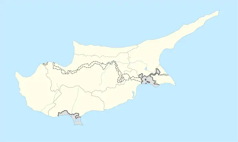 Agia Eirini Location in Cyprus | |
| Coordinates: 35°17′13″N 32°58′6″E | |
| Country (de jure) | |
| • District | Kyrenia District |
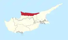
| Country (de facto) | |
| • District | Girne District |
| Time zone | UTC+2 (EET) |
| • Summer (DST) | UTC+3 (EEST) |
References
- In 1983, the Turkish Republic of Northern Cyprus unilaterally declared independence from the Republic of Cyprus. The de facto state is not recognised by any UN state except Turkey.
- Gjerstad, Einar And Westholm (1935). Swedish Cyprus Expedition: Finds And Results Of The Excavations In Cyprus 1927-1931 Vol.2 (text).
- Göransson, Kristian (2012). "The Swedish Cyprus Expedition, The Cyprus collections in Stockholm and the Swedish Excavations after the SCE". Cahiers du Centre d'Études Chypriotes. 42 (1): 399–421. doi:10.3406/cchyp.2012.1033.
This article is issued from Wikipedia. The text is licensed under Creative Commons - Attribution - Sharealike. Additional terms may apply for the media files.