Alem
Alem is a village in the Dutch province of Gelderland. It is a part of the municipality of Maasdriel, and lies about 10 km north of 's-Hertogenbosch.
Alem | |
|---|---|
Village | |
.JPG.webp) View of Alem | |
 Coat of arms | |
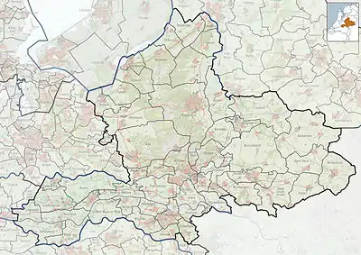
 Alem Location in the Netherlands  Alem Alem (Netherlands) | |
| Coordinates: 51°47′13″N 5°20′37″E | |
| Country | Netherlands |
| Province | Gelderland |
| Municipality | Maasdriel |
| Area | |
| • Total | 5.93 km2 (2.29 sq mi) |
| Elevation | 2 m (7 ft) |
| Population (2021)[1] | |
| • Total | 645 |
| • Density | 110/km2 (280/sq mi) |
| Time zone | UTC+1 (CET) |
| • Summer (DST) | UTC+2 (CEST) |
| Postal code | 5335[1] |
| Dialing code | 0418 |
It used to part of the province in North Brabant. In 1934, it became part of Gelderland. Until 1958, Alem, Maren en Kessel was a separate municipality. The villages of Maren and Maren-Kessel are now part of the municipality of Lith.[3]
History
It was first mentioned in 1107 as Aleym. The etymology is unclear.[4] The village developed along the Maas. The Dutch Reformed Church has probably been built around 1719 using material from a previous church lost in a 1717 flood.[5] In 1840, it was home to 307 people.[3]
In 1925, the canalisation of the Maas resulted in Alem becoming a river island.[5] In 1934, it became part of the province of Gelderland.[3]
Gallery
.jpg.webp) Scene in Alem
Scene in Alem.JPG.webp) Saint Odradastreet with village inn "Het Hart van Alem"
Saint Odradastreet with village inn "Het Hart van Alem".jpg.webp) Ferry across the river Meuse
Ferry across the river Meuse
References
- "Kerncijfers wijken en buurten 2021". Central Bureau of Statistics. Retrieved 22 March 2022.
- "Postcodetool for 5335JK". Actueel Hoogtebestand Nederland (in Dutch). Het Waterschapshuis. Retrieved 22 March 2022.
- "Alem". Plaatsengids (in Dutch). Retrieved 23 March 2022.
- "Alem - (geografische naam)". Etymologiebank (in Dutch). Retrieved 23 March 2022.
- Ronald Stenvert & Sabine Broekhoven (2000). "Alem" (in Dutch). Zwolle: Waanders. ISBN 90 400 9406 3. Retrieved 22 March 2022.