Ampanavoana
Ampanavoana is a rural municipality in northern Madagascar. It belongs to the district of Antalaha, which is a part of Sava Region. The municipality has a populations of 13,009 inhabitants (2019).
Ampanavoana | |
|---|---|
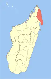
 Ampanavoana Location in Madagascar | |
| Coordinates: 15°40′S 50°12′E | |
| Country | |
| Region | Sava |
| District | Antalaha |
| Elevation | 18 m (59 ft) |
| Population (2019)Census | |
| • Total | 13,009 |
| Time zone | UTC3 (EAT) |
| Postal code | 206 |
Population
The population is young. 51,37% have 15 years or less, 45.79% between 15 and 60 years and 2,84% of an age of more than 60 years.
Rivers
Four rivers cross the municipality: Anjanazana river, Ampanavoana river, Ampanio and Fampotakely.
Agriculture
The agriculture is mainly subsistential: rice, manioc, banana, sugar cane and coco nuts. Next to it also vanilla, cloves and coffee is planted.[1]
Tourism
It is situated at the border of the Masoala National Park.
This article is issued from Wikipedia. The text is licensed under Creative Commons - Attribution - Sharealike. Additional terms may apply for the media files.