Andresen Island
Andresen Island, also known as "Isla Curanilahue", is an island 4 kilometres (2 nmi) long and rising over 610 metres (2,000 ft), lying in the middle of the entrance to Lallemand Fjord, off the west coast of Graham Land. It was discovered by the French Antarctic Expedition, 1908–10, under Jean-Baptiste Charcot, and named by him for the manager of the Magellan Whaling Co at the company's Deception Island base, who provided coal for the expedition.[1]
 Andresen Island Location in Antarctica 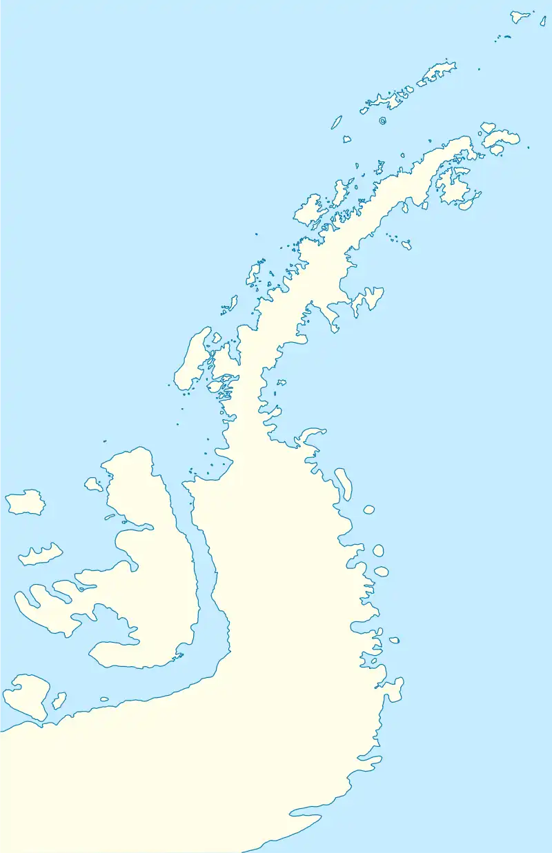 Andresen Island Andresen Island (Antarctic Peninsula) | |
| Geography | |
|---|---|
| Location | Antarctica |
| Coordinates | 66°53′S 66°40′W |
| Administration | |
| Administered under the Antarctic Treaty System | |
| Demographics | |
| Population | Uninhabited |
References
![]() This article incorporates public domain material from "Andresen Island". Geographic Names Information System. United States Geological Survey.
This article incorporates public domain material from "Andresen Island". Geographic Names Information System. United States Geological Survey.
This article is issued from Wikipedia. The text is licensed under Creative Commons - Attribution - Sharealike. Additional terms may apply for the media files.