Anela
Anela (Sardinian: Anèla) is a comune (municipality) in the Province of Sassari in the Italian island region Sardinia, located about 140 kilometres (87 mi) north of Cagliari and about 50 kilometres (31 mi) southeast of Sassari.
Anela | |
|---|---|
.jpg.webp) | |
Location of Anela | |
 Anela Location of Anela in Sardinia 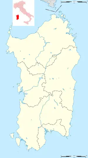 Anela Anela (Sardinia) | |
| Coordinates: 40°26′N 9°3′E | |
| Country | Italy |
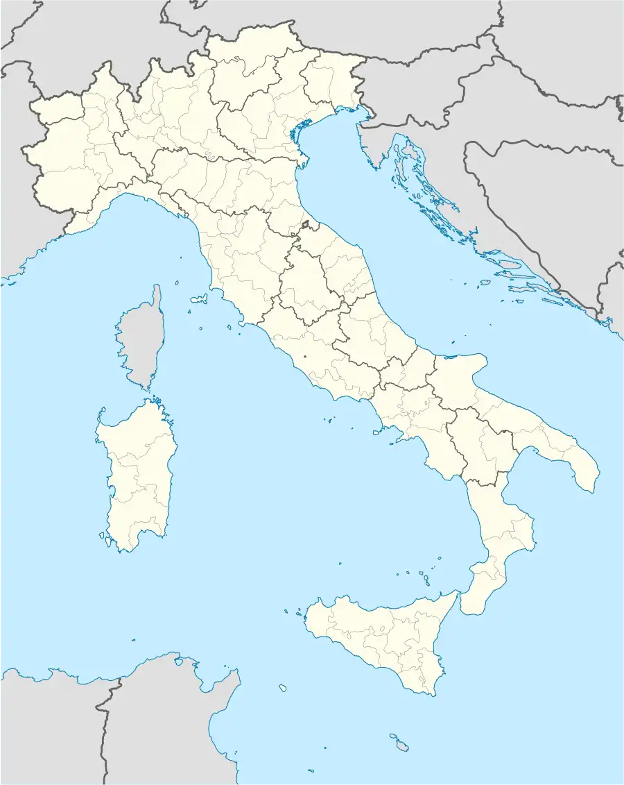
| Region | Sardinia |
| Province | Sassari (SS) |
| Government | |
| • Mayor | Giangiuseppe Nurra |
| Area | |
| • Total | 37.0 km2 (14.3 sq mi) |
| Elevation | 446 m (1,463 ft) |
| Population (31 December 2011)[2] | |
| • Total | 673 |
| • Density | 18/km2 (47/sq mi) |
| Demonym | Anelesi |
| Time zone | UTC+1 (CET) |
| • Summer (DST) | UTC+2 (CEST) |
| Postal code | 07010 |
| Dialing code | 079 |
Anela borders the following municipalities: Bono, Bultei, Nughedu San Nicolò.
Anela,[3] the oldest village of Goceano is known for Forest'Anela an holm oak woods[4] very popular for trekking tourism and Necropolis of Sos Furrighesos.[5]
References
Wikimedia Commons has media related to Anela.
- "Superficie di Comuni Province e Regioni italiane al 9 ottobre 2011". Italian National Institute of Statistics. Retrieved 16 March 2019.
- All demographics and other statistics: Italian statistical institute Istat.
- "Anela". 31 July 2017.
- "Forest'Anela". 20 November 2015.
- "Domus de Janas di Sos Furrighesos – Anela (SS)".
External links

This article is issued from Wikipedia. The text is licensed under Creative Commons - Attribution - Sharealike. Additional terms may apply for the media files.