Apti Budruk
Apti Budruk is a village in the Palghar district of Maharashtra, India. It is located in the Vikramgad taluka.[1]
Apti Budruk
Apti Bk. | |
|---|---|
village | |
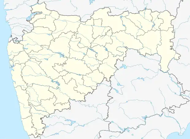 Apti Budruk Location in Maharashtra, India  Apti Budruk Apti Budruk (India) | |
| Coordinates: 19.7864218°N 73.0198654°E | |
| Country | India |
| State | Maharashtra |
| District | Palghar |
| Taluka | Vikramgad |
| Elevation | 52 m (171 ft) |
| Population (2011) | |
| • Total | 1,343 |
| Time zone | UTC+5:30 (IST) |
| 2011 census code | 551784 |
Demographics
According to the 2011 census of India, Apti Budruk has 249 households. The effective literacy rate (i.e. the literacy rate of population excluding children aged 6 and below) is 57.54%.[2]
| Total | Male | Female | |
|---|---|---|---|
| Population | 1343 | 668 | 675 |
| Children aged below 6 years | 269 | 130 | 139 |
| Scheduled caste | 0 | 0 | 0 |
| Scheduled tribe | 1321 | 660 | 661 |
| Literates | 618 | 363 | 255 |
| Workers (all) | 782 | 384 | 398 |
| Main workers (total) | 718 | 348 | 370 |
| Main workers: Cultivators | 119 | 60 | 59 |
| Main workers: Agricultural labourers | 482 | 228 | 254 |
| Main workers: Household industry workers | 1 | 0 | 1 |
| Main workers: Other | 116 | 60 | 56 |
| Marginal workers (total) | 64 | 36 | 28 |
| Marginal workers: Cultivators | 4 | 1 | 3 |
| Marginal workers: Agricultural labourers | 50 | 29 | 21 |
| Marginal workers: Household industry workers | 0 | 0 | 0 |
| Marginal workers: Others | 10 | 6 | 4 |
| Non-workers | 561 | 284 | 277 |
References
- "Maharashtra villages" (PDF). Land Records Information Systems Division, NIC. Archived from the original (PDF) on 4 March 2016. Retrieved 17 August 2015.
- "District census data". 2011 Census of India. Directorate of Census Operations. Archived from the original on 2 October 2015. Retrieved 17 August 2015.
This article is issued from Wikipedia. The text is licensed under Creative Commons - Attribution - Sharealike. Additional terms may apply for the media files.