Aranga, New Zealand
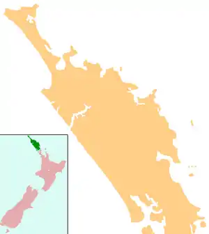
Aranga is a locality in Northland, New Zealand. State Highway 12 passes through it. Ōmāpere is 47 km northwest, and Dargaville is 42 km southeast. The Waipoua Forest is to the north.[1][2] Maunganui Bluff and the Tasman Sea are to the west, with the small settlement of Aranga Beach lying at the northern end of Ripiro Beach.[3]
Aranga | |
|---|---|
 Aranga | |
| Coordinates: 35°44′23″S 173°36′49″E | |
| Country | New Zealand |
| Region | Northland Region |
| District | Kaipara District |
Trounson Kauri Park is a 586 ha forest reserve a few kilometres south of Aranga.[4]
Aranga was a centre of the kauri gum industry from 1887[5] until the late 1940s, one of the last gum extraction areas in New Zealand.[6] A flax mill operated at Aranga from 1890 to 1900.[7]
The local Waikarā Marae is a traditional meeting ground for the Te Roroa.[8] It features the meeting house, Te Uaua.[9]
Education
Aranga School is a coeducational full primary (years 1-8) school with a decile rating of 4[10] and a roll of 17[11] (April 2023). The school celebrated its centennial in 2005.[12]
Notes
- Peter Dowling, ed. (2004). Reed New Zealand Atlas. Reed Books. pp. map 6. ISBN 0-7900-0952-8.
- Roger Smith, GeographX (2005). The Geographic Atlas of New Zealand. Robbie Burton. pp. map 22. ISBN 1-877333-20-4.
- "Dargaville and the Northern Wairoa". Te Ara: The Encyclopedia of New Zealand.
- "Trounson Kauri Park". New Zealand Department of Conservation.
- Ryburn, Wayne (1999). Tall Spars, Steamers & Gum. Auckland, N.Z.: Kaipara Publications. pp. 132, 224. ISBN 0-473-06176-7.
- Ryburn, p 203
- Ryburn, p 139
- "Te Kāhui Māngai directory". tkm.govt.nz. Te Puni Kōkiri.
- "Māori Maps". maorimaps.com. Te Potiki National Trust.
- Education Counts: Aranga School
- "New Zealand Schools Directory". New Zealand Ministry of Education. Retrieved 12 December 2022.
- "Aranga School Centennial 2005". Education Gazette New Zealand. 84 (9). 23 May 2005. Archived from the original on 16 October 2008.